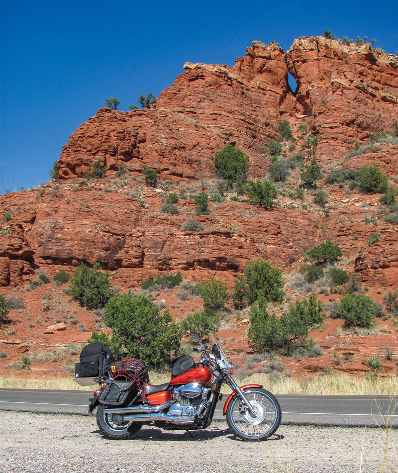
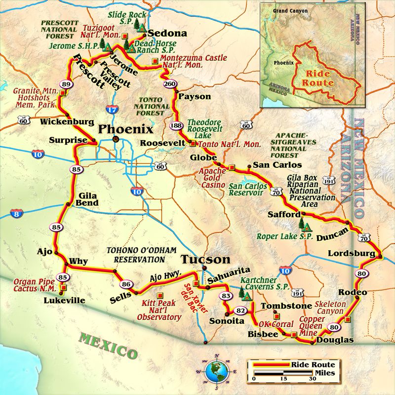
April in the Southwest means perfect temperatures and sunny days, riding in a mesh jacket and Kevlar-lined jeans. With a new (to me) Honda Shadow outfitted with new bags to carry my camping gear, I hit the road in early April. My intent was to make a giant circle around Phoenix and Tucson, avoiding the big cities. In bloom, in high spring, the desert and mountains of Arizona’s highways beckoned.
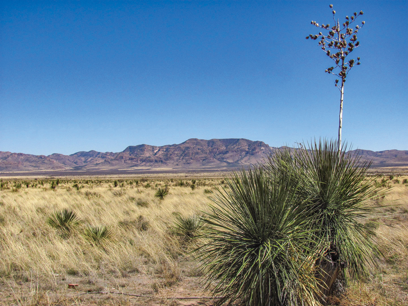
From Lordsburg, New Mexico, I first veered south on State Route 80. Among the yucca-studded Chihuahuan Desert landscape there’s a historical marker near Skeleton Canyon, commemorating the surrender in September 1886 of Geronimo, the last Apache chief. The road eventually led to the dusty border town of Douglas, good for an ice cream sandwich and a fuel stop, before climbing to 5,000 feet of elevation and the town of Bisbee.
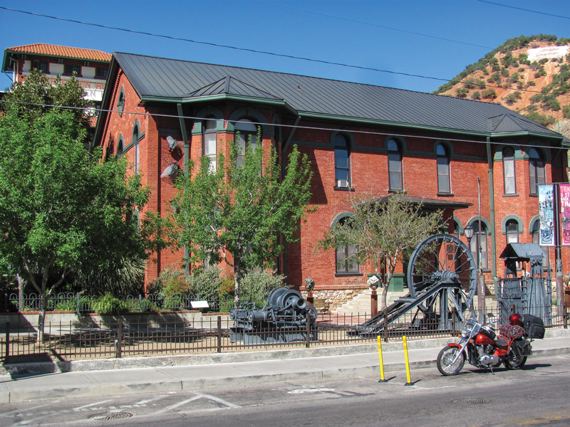
A thriving copper, gold and silver mining town founded in the 1880s, Bisbee fell into decline by 1950. Then enterprising citizens, with the help of a huge economic development grant, turned the ghost town into a tourist attraction. Big draws are tours of the Copper Queen mine, narrow streets connected by steep staircases and shopping for antiques downtown.
I camped at Kartchner Caverns State Park, next to an underground beauty of a limestone cave, before venturing farther west. A delightful road follows the contours of prime rolling hills through the snowbird havens of Sonoita and Sahuarita. Ducking under Interstate 19, I turned north on Mission Road. Lots of bicycles and motorcycles enjoyed the sparsely trafficked road, which led in a roundabout way to Mission San Xavier del Bac.
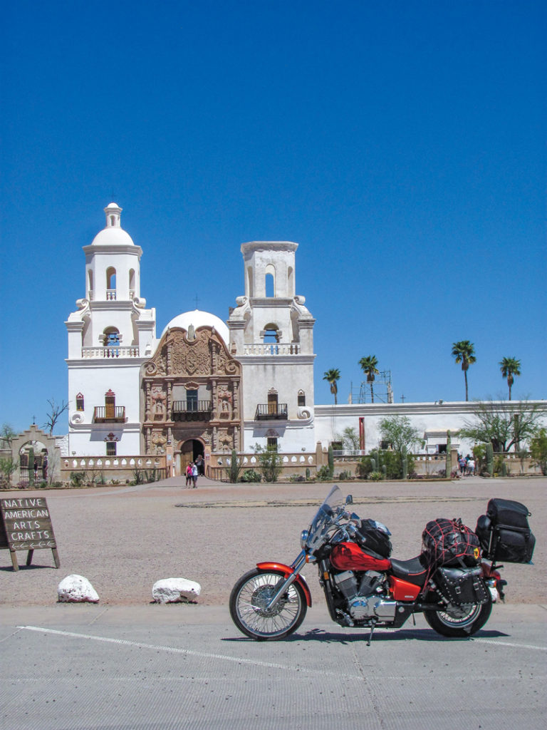
Long before any outsiders settled in southern Arizona, Father Kino founded the whitewashed mission in 1692 to benefit the local American Indian population. San Xavier Mission School, next door, has served Tohono O’odham students from kindergarten through eighth grade for more than 150 years.
Skirting around the southwest edge of Tucson, I picked up the Ajo Highway (State Route 86) just before it entered the Tohono O’odham reservation. The scenery was of the quintessential “Arizona Highways” variety, with saguaro, cholla, organ pipe, barrel, prickly pear, ocotillo and many other species of cactus in bloom along an undulating two-lane road. On the far side of the reservation I stopped to camp in Why, literally located at the Y where State Route 86 meets State Route 85. South of the Y, I soon rode into Organ Pipe Cactus National Monument. This park preserves fine examples of all the varieties of cactus common in the Sonoran Desert, along with coyotes, javelina, Gila monsters, desert tortoise, jackrabbits, rattlesnakes, hawks, roadrunners and other creatures native to the borderlands.
In early April the desert was already heating up. I turned around at the Mexican border and headed north to seek higher elevations. After passing through Gila Bend and crossing Interstate 10, I discovered the Sun Valley Parkway. Known locally as “the road to nowhere,” this four-lane deserted highway offers a nearly irresistible temptation to speed. It was built in the mid-1980s in anticipation of a huge real estate development that fell through. Since then bicyclists and drag racers have enjoyed its 30-plus miles of pristine blacktop.
By the time I reached the palm tree-lined streets of Surprise, it was 92 degrees. What is the surprise? I wondered aloud as I ordered lunch in an air-conditioned Denny’s restaurant. According to the waitress, a woman who pioneered the settlement there was quoted as saying she would be surprised if the town ever amounted to anything. After lunch, I rode northwest through Wickenburg, then turned east up the winding curves of State Route 89 toward Prescott. Along the way I stopped to look over some steep, brush-choked country near Yarnell. A marker there honors the Granite Mountain Hotshots, who perished in a wildfire nearby in 2013.
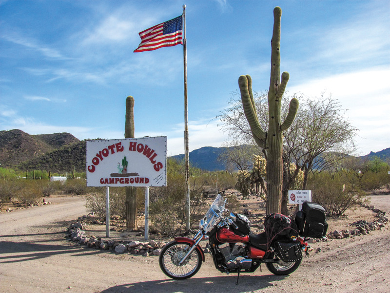
The route I chose passed through tiny towns that I had never heard of, such as Peeples Valley and Skull Valley, before arriving at the bustling city of Prescott. Its mile-high altitude, granite boulders, hidden lakes and campgrounds in the cool pines have drawn many new residents. Fortunately, the city of 40,000 supported a Honda dealer. I treated myself to a stay in a hotel, and a minor repair to my motorcycle was quickly taken care of the next morning at Star Island Motorsports. In a hurry to get back to riding the Arizona highways, I skipped touristy Whiskey Row in downtown Prescott and instead headed for a curving road leading out to the north.
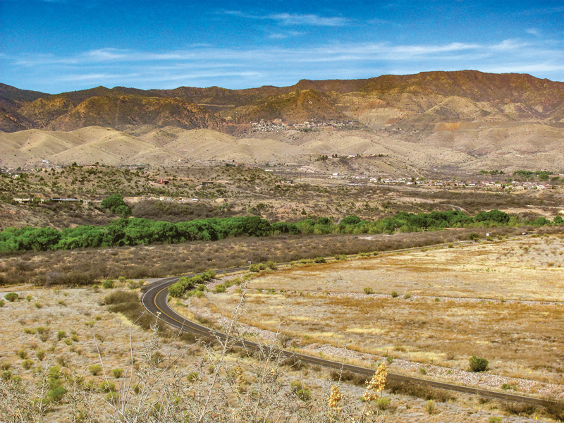
State Route 89A follows a serpentine route over Mingus Mountain to the old mining town of Jerome. More motorcycles than cars were coasting around its hairpin curves and flying over the mountain pass. Built on the side of the mountain, Jerome consists of a couple of narrow streets lined with restaurants, gift shops and bars. Off to one side there’s Jerome State Historic Park, containing the remains of an active mining community of the late 19th and early 20th centuries.
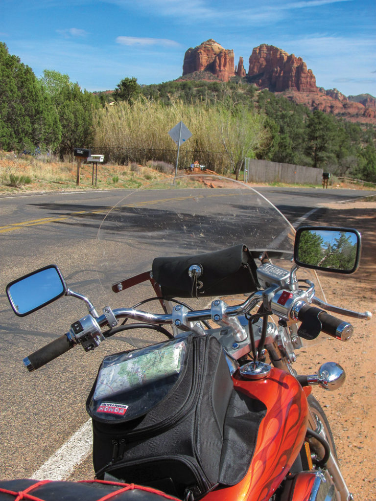
I felt drawn to ride up to Sedona, some 28 miles northeast of Jerome, to snap some pictures of the famous red rock. A loop road winds off the main track to Red Rock Crossing; another curving road leads to Slide Rock State Park, a popular swimming hole. Prices were sky high in the New Age capital of Arizona; eventually I turned around and went back to the more down-to-earth Cottonwood for lunch. Unpretentious Crema Craft Kitchen on Main Street in Cottonwood had fresh and healthy breakfast and lunch options, with no wait and attentive service.
After camping overnight at Dead Horse Ranch State Park, I followed the Verde River upstream a few miles to visit Tuzigoot National Monument. At the site, an easy walk leads to hilltop ruins left by the Sinagua Indians. Populated between 900 and 1300 A.D., Tuzigoot’s residents created pottery as tall as they were and wove yucca fiber to make footwear.
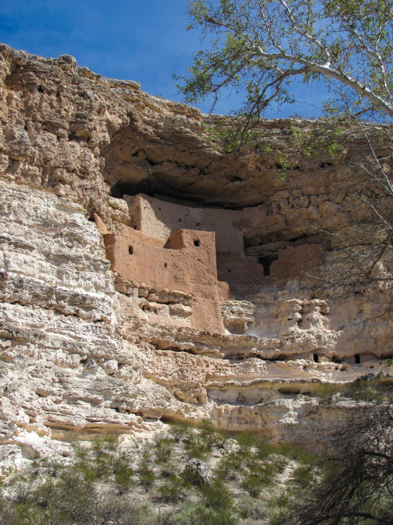
Park rangers directed me to another national monument some miles downstream from Tuzigoot near Camp Verde. Situated high up on the side of a cliff above Beaver Creek, a tributary of the Verde River, Montezuma Castle was home to another band of Sinagua Indians. Early visitors to this ruin assumed it was Aztec in origin, but in reality the emperor Montezuma never ventured anywhere near here.
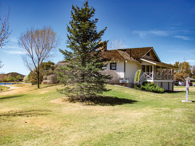
Saturday crowds were growing at Montezuma Castle as the temperature approached 80 degrees, so I headed for the high road over the Mogollon Rim. State Route 260 turned into State Route 87, wandering through some great sweeping curves lined with tall ponderosa pines before plunging down through tiny Strawberry and Pine, to Payson. A quiet town of 20,000 people at 4,800 feet elevation, Payson boasts the reconstructed Zane Grey Cabin and a museum to commemorate the author of 64 western novels that helped popularize the Mogollon Rim country in the early 20th century.
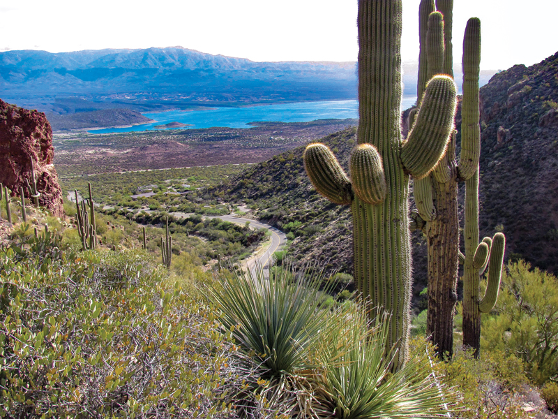
When State Route 260 turned back northeast toward Show Low, I chose to head into some warmer weather. Early April was still a little chilly up at higher altitudes, so I dropped down to State Route 188 and made a beeline for Roosevelt Lake. The Forest Service-run Cholla Bay Campground presented a stunning desert environment with plenty of vacant sites, even on a weekend. The main draw is the lake, a reservoir 33 square miles in size, created by a dam on the Salt River built in 1911.
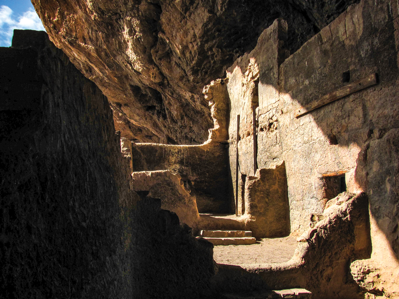
A side road off State Route 188 headed to another set of ancient Indian ruins at Tonto National Monument. There, a steep half-mile hike leads to a stunning cliff dwelling overlooking the lake far below. The population in the area approached its peak between 1100 and 1300 A.D. They created Rio Salado polychrome pottery and farmed along the Salt River in the Tonto Basin. Drought, flash flooding and social conflict led most of the people to depart in the late 14th century for more favorable living situations elsewhere.
South of Tonto National Monument, the road ran into a T. A west turn would have taken me to Phoenix, but instead I turned east and joined a procession of Sunday riders enjoying the curves and rugged desert scenery of U.S. Route 60. A few miles beyond Globe, I stopped at the Apache Gold Casino, operated by the San Carlos Apache tribe. After lunch, I tried my luck on the video poker machines, enjoying an air-conditioned break from the road even as I contributed a few bucks toward the San Carlos education fund.
Then it was another hour on U.S. Route 70, known as the “Old West Highway,” to reach Roper Lake State Park just outside of Safford. Like most other Arizona parks, the main attraction is water. Roper Lake offers swimming, boating, bird watching and fishing, plus a bonus: a natural hot spring which is available free of charge to campers in the park. At 97 degrees, the water in the cement pool was soothing, with a great view of Mount Graham to the west.
Departing Safford, I followed the Old West Highway past the turnoff to the Gila Box Riparian National Conservation Area and the cute little town of Duncan, to the New Mexico state line. Lordsburg soon came into view. With that I was back where I had started, completing a circle around desert, mountains, winding roads, lakes, rivers and history–a thousand miles of scenic Arizona highways.


You make magic with your words, Kit.
Thanks for sharing. I’m housebound, recovering from hip replacement surgery. It was wonderful to see the sights!
Hey Kit, I love reading your riding stories. This one is especially good. Warm weather and the desert, great combination. I got get my bike out and do some riding. Thanks!
Nice going, Kit. Get it? That’s a corny pun.
No kiding though, it’s an inviting story. Even for a non- rider.
Enjoyed your story so much Kit! What a great adventure & you went right through our little town of Payson! We’re there from late Nov. – Apr. Next time you’re that way be sure & look us up!
You go girl! so fun to read about this trip – interesting even to a non-riding northerner.
love to read your stuff
Margi
You missed an best ride in pinal county from us.60 to do the highway 177 that leads into highway77 and into the outskirts of Tucson through the copper corridor. That’s the most prettiest parts of pinal county along the gila river witch drives up in florence. Check it out next time.
Readers need to know that though your article is beautifully written and the pictures were very good, that at least another thousand miles are part of this very large state. The Salt River Canyon (known as the Baby Grand Canyon) is part of a loop from Phoenix to Show Low to Payson. You have covered some wonderful riding but come back and ride some more. I have lived and ridden in AZ for 40 years and still fine enjoyable riding year round