


Colorado is a tale of two topographies. The eastern third of the state, roughly everything east of Interstate 25, is part of the Great Plains, a vast grassland known for its rolling terrain and lack of geographic features that cause roads to go up, down, or around. Western Colorado is dominated by the Rockies, a massive mountain range that stretches from British Columbia to northern New Mexico.
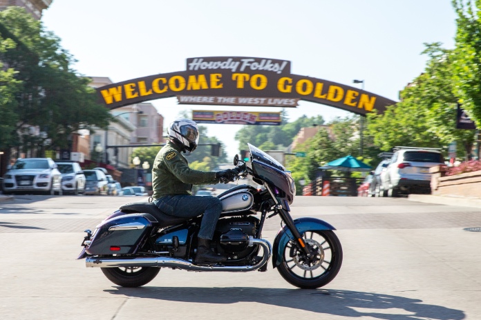
To pioneers heading west, the Rockies appeared on the horizon like an impossibly imposing wall, a hellscape of hardship and deprivation to those attempting to cross them. Thousands of its peaks exceed 10,000 feet in elevation; in Colorado alone, there are 58 named peaks that rise above 14,000 feet.
To motorcyclists, the Rockies are heaven on earth.
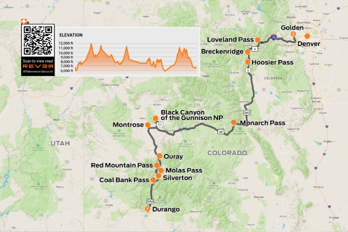
Click here to view the route on REVER
Colorado’s innumerable high peaks and the roads that go over, under, or around them create a challenging, scenic playground. My wife, Carrie, and I spent two days linking fantastic roads between Denver and Durango, bagging high-elevation passes and cruising through historic towns rich in frontier and mining history.
We began our journey just west of Denver, in the town of Golden, home of Coors Brewery. Tucked against the Front Range, where the rolling plains take on a decidedly more vertical orientation, Golden gets its name from the 19th-century gold rush. It’s also a major recreation hub for hikers, mountain bikers, and kayakers.
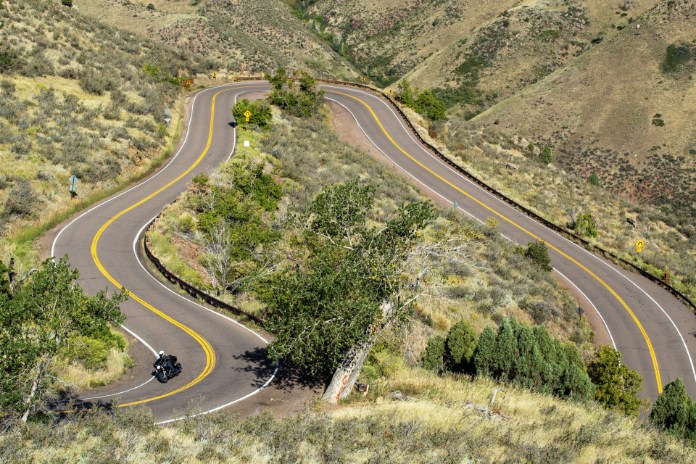
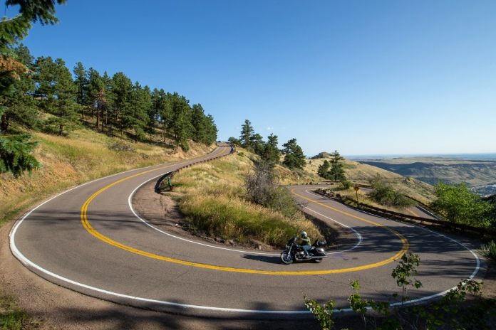
We jumped right into the good stuff on Lookout Mountain Road, which climbs into the Rockies via switchbacks and floorboard-scraping curves. After a few miles we joined Interstate 70 westbound. The super slab gets a bad rap, often deservedly so, but the 500 miles of I-70 from Denver to its western terminus in Utah is one of the most dramatic and beautiful stretches of interstate highway anywhere in America.
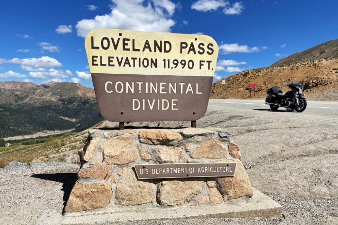
We took exit 216 for U.S. Route 6, and in less than 5 miles we arrived at Loveland Pass (11,990 feet), the seventh highest paved road in Colorado and a crossover point on the Continental Divide, which separates the Pacific and Atlantic watersheds. We continued west on U.S. 6 through the ski town of Keystone, then south on State Route 1 around Dillon Reservoir and south on State Route 9 through Breckenridge, another ski town.
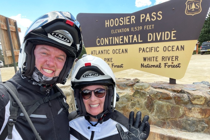
Next up was Hoosier Pass (11,539 feet), another Continental Divide crossover. It was named in the 1860s by miners and prospectors from Indiana who settled in Hoosier Gulch during the Pike’s Peak Gold Rush.
As the elevation chart on the map shows, this 415-mile route, which is best traveled in late spring through early fall due to snow at high elevations, includes a series of sharp peaks preceded and followed by steep grades with gradual ascents and descents in between. What can only be seen by zooming in on the map are the tight curves on the approaches to high passes as the road ladders its way up to the saddle and then down the other side. The roads are lined with evergreens, rock formations, and sweeping vistas. It’s best to keep one’s eyes on the road and take advantage of pullouts to admire the view.
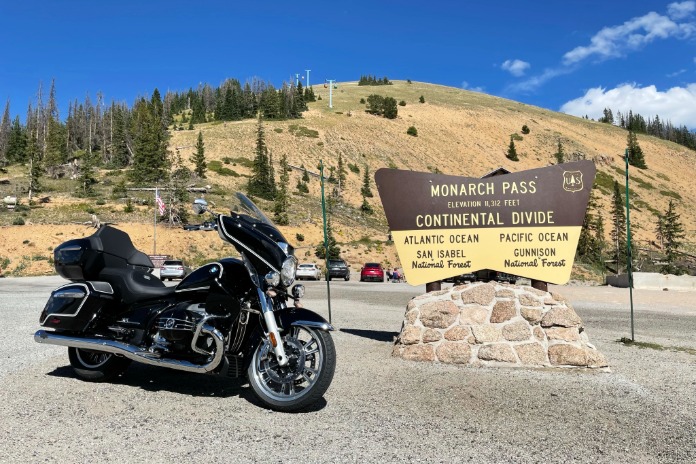
We continued south through Alma and Fairplay, where we picked up U.S. Route 285 southbound. At the junction with U.S. Route 50, we doglegged west into San Isabel National Forest. Soon we arrived at Monarch Pass (11,312 feet), our third high pass along the Continental Divide.
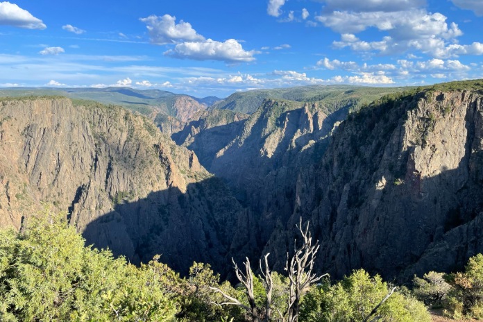
After riding through Gunnison and cruising alongside the delightful Blue Mesa Reservoir, we turned north on State Route 347 and rode a few miles to Black Canyon of the Gunnison National Park, home of one of the steepest, deepest, and narrowest canyons in North America. We followed the 7-mile South Rim Road and peered down into the canyon from several overlooks. For a dramatic descent, take East Portal Road down to the Gunnison River, which drops 2,000 feet in 5 miles.
By the time we got to Montrose, Carrie and I had logged over 300 miles on our roller-coaster ride. Ready for some downtime, we got a room at the cozy Country Lodge, conveniently located next door to Buckaroos Slices and Scoops and a liquor store with ice-cold beer.
The next morning, we had an early breakfast and added an extra layer to fight off the morning chill. We rode due south on U.S. Route 550. After about 35 miles, we arrived at Ouray, a historic mining town tucked in the San Juan Mountains that’s known as the “Switzerland of America.” It’s also the northern terminus of the Million Dollar Highway, a 25-mile stretch of U.S. 550 that connects Ouray to Silverton. How it came by that name depends on who you ask. Some says it cost a million dollars per mile to build, others say it’s because of the gold and silver mines in the area or the million-dollar views, while others say, “you couldn’t pay me a million dollars to drive that road,” which can be treacherous, particularly in the winter.
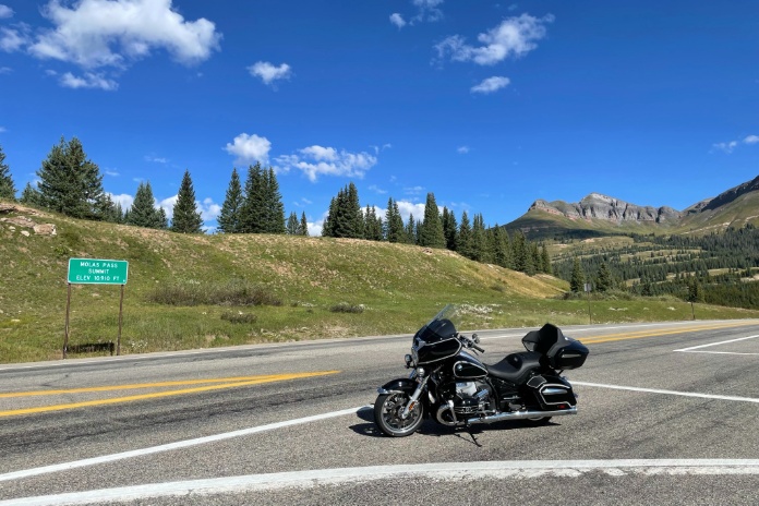
However it came by its name, the Million Dollar Highway is one of the most scenic and challenging roads in Colorado.
From Ouray, we ascended quickly and leaned through a couple big switchbacks that indeed reminded us of riding in the Alps. We recommend stopping for a photo at the Switzerland of America Lookout Point.
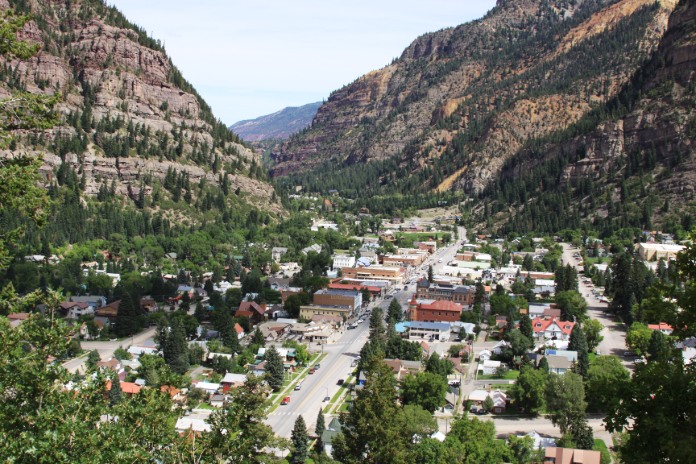
The Million Dollar Highway is as epic as epic gets in terms of dramatic vistas, gracefully radiused switchbacks, and high passes, including Red Mountain (11,018 feet), Molas (10,910 feet), and Coal Bank (10,640 feet).
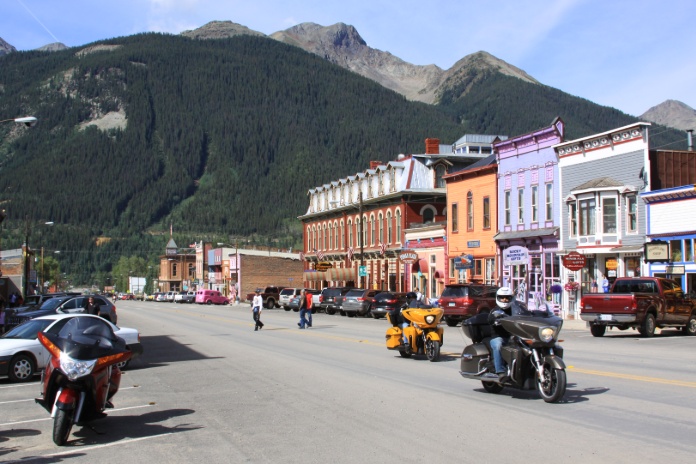
Soon we arrived in Silverton, a former mining town that’s a National Historic Landmark known for its colorful 19th-century Victorian buildings. It’s also a gateway to recreation in the San Juan Mountains. Train buffs should take a ride on the Durango & Silverton Narrow Gauge Railroad, which has been operating since 1881 and runs along the Animas River between the two towns.
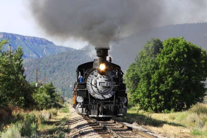
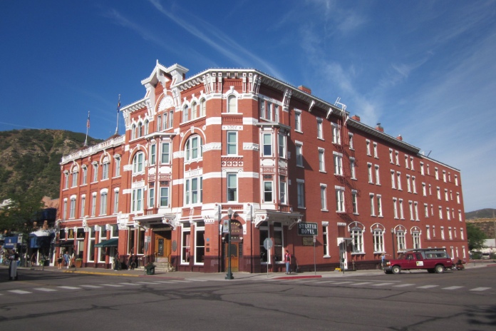
The last 50 miles of this ride is a smooth, graceful descent to Durango, an Old West city that’s a great basecamp for riding in the Rockies. We recommend staying in the historic Strater Hotel, which is a short walk to bars, restaurants, shops, and the train depot. From Durango, it’s about 50 miles to Mesa Verde National Park, 85 miles to Four Corners, and 165 miles to Great Sand Dunes National Park and Preserve.
See all of Rider‘s touring stories here.


Wonderful article Greg. Many thanks.🎸😃.