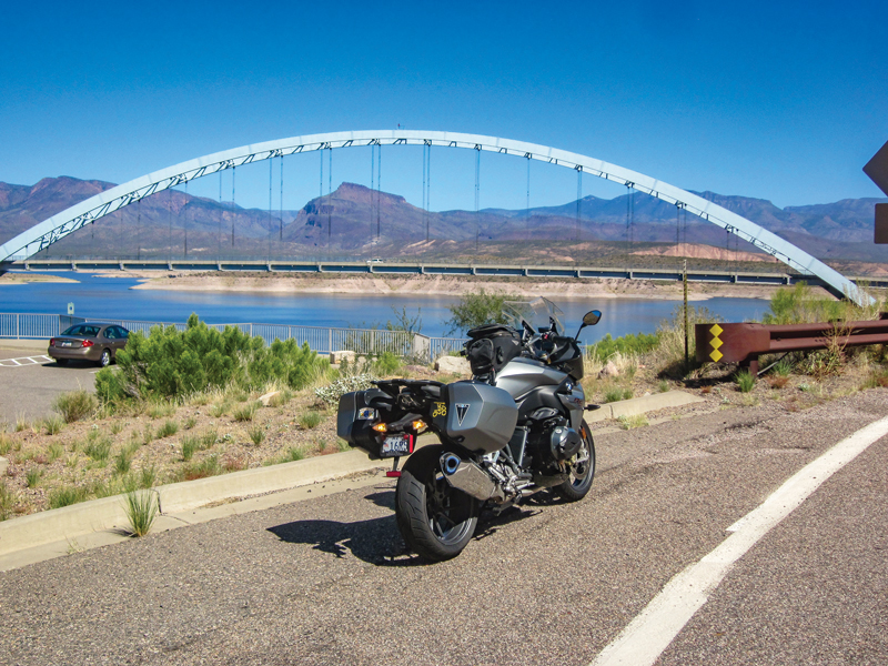
I’ve been thinking about writing this story for a few months, but the inspiration for it goes back every winter for 20 years. About the time Jack Frost arrives across much of the nation, I’m able to just keep riding most days. You can too if you can just get to Arizona. Why here, other than the hospitable winter weather?
In addition to the usual visitor attractions, January in Scottsdale brings the Barrett-Jackson auto auction, for more than a week of gearhead eye candy. February brings Arizona Bike Week. And then there is the riding, and not just the loop I’m going to describe. We do get winter storms in the state, but most of the time the sun and temperatures are motorcycle friendly, reasons enough to trailer, rent or borrow a bike and get out here.
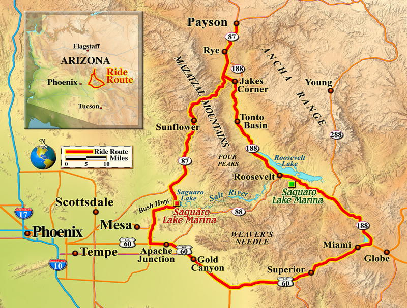
This ride I’m going to describe is all country roads, has very little traffic and fantastic views, and stop signs are scarce. I live in central Arizona, so my loop starts in Payson, but it is the same if you start from what we refer to as “the valley,” which is everything around metro Phoenix. Get your kickstands up and head to the East Valley–Mesa and Apache Junction to be exact, taking old U.S. Route 60. Go north at Ellsworth Road and get the heck “out of Dodge,” riding over Usury Pass. This will start you clockwise on the loop. It’s not a high pass, but after the summit you ride downhill with a spectacular panoramic vista of the Salt River Canyon. Whether or not you’ve been out west much, you’ll be amazed at how green the Sonoran Desert remains in winter.
After six or eight miles, take a right at the four-way stop and head east on the Bush Highway. You’ll be headed for State Route 87, but before you get there, you’ll see Saguaro Lake and the marina on the right. If it’s lunchtime stop and get a bite, sitting outside on the patio overlooking the lake. There’s a nice view (yes we do have some water in Arizona).
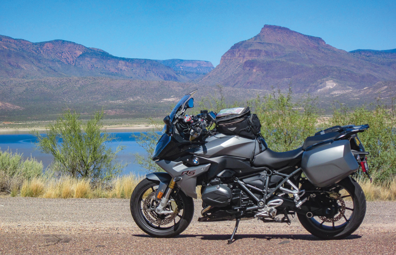
When the Bush Highway ends after a dozen miles, take a right and go north toward Payson. This is a four-lane, undulating mountain road, with a forest of Saguaro cacti and 4WD roads in every direction. Look around for the iconic landmarks of Four Peaks, Weaver’s Needle and countless mountains and washes absent any towns, houses and other signs of civilization. If you’re riding an adventure bike, you’ll find an off-road turnoff shortly after you see Four Peaks to the east (Four Peaks looks like what it sounds like–the four peaks are the highest in the string of mountains).
The dirt road is Forest Road 401/143 just a few miles along State Route 87 (a.k.a. the Beeline Highway). It is actually the shortcut to State Route 188, where we are headed, and it saves at least 20 miles, but of course it’s slower. I would really not recommend it for a road bike. Road-going folks should continue up State Route 87 and turn right on State Route 188 headed south.
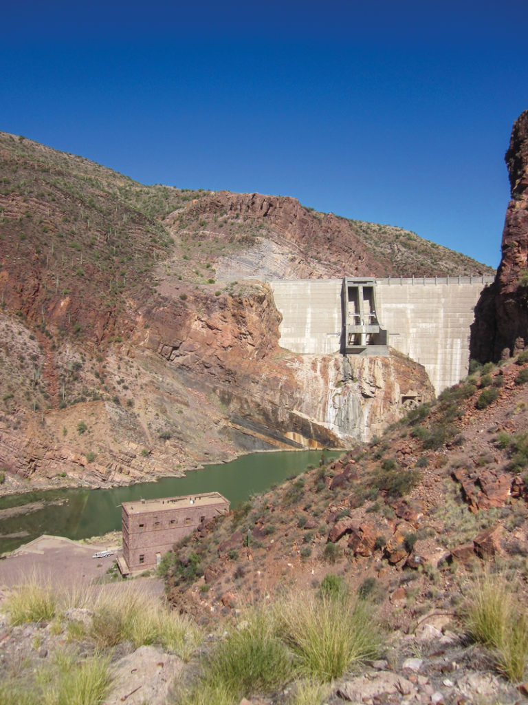
In less than 15 miles you will approach the north end of Theodore Roosevelt Lake, the largest lake in Arizona. Those long, grand, rugged azure mountains to the east are part of the Sierra Ancha range. On the other side of it lies Young, Arizona, site of the Pleasant Valley wars written about by Zane Grey. The lake is full of trout and bass but that’s another (fish) story altogether. Continue south and there are places to pull over at the impressive dam and arch bridge. Now, if you’re on that adventure bike and addicted to dirt, you can cut the loop short and head back to Apache Junction on State Route 88. Arizona has the audacity to call this a state route, but none of it is paved and parts make you want to really slow down and say “whoa horsey.”
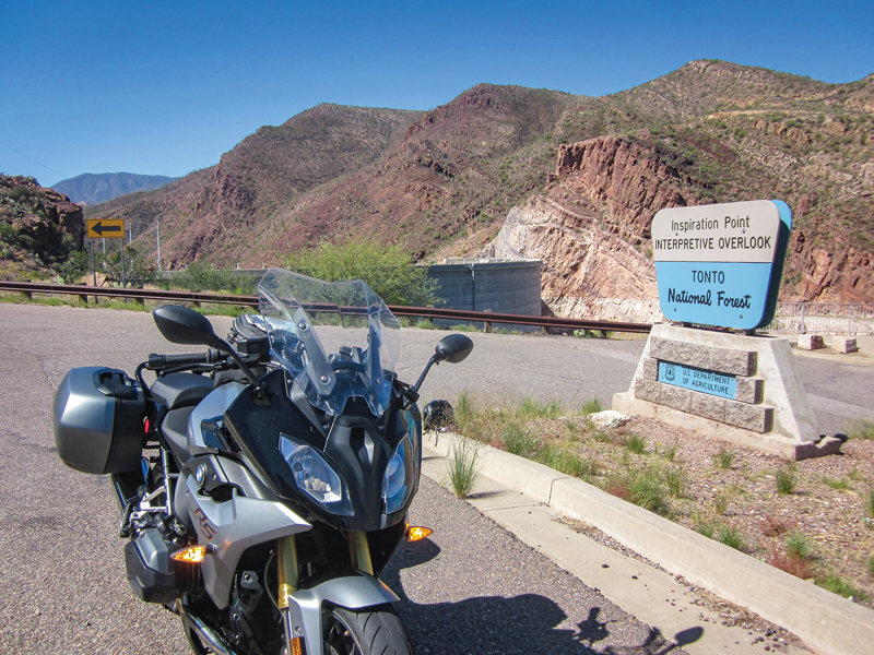
For the road riders, a few miles past the dam is the Tonto National Monument. If you have a pass for the National Park system, you can use it here or pay to see the cliff dwellings and visitor center. Farther south of the lake a few miles is Boston’s Lake House Grill. It’s good for a sandwich and there’s a country store and gas there as well. This whole loop is less than 180 miles, but if it is all new, you just might find yourself stopping so often that it takes a lot longer than usual.
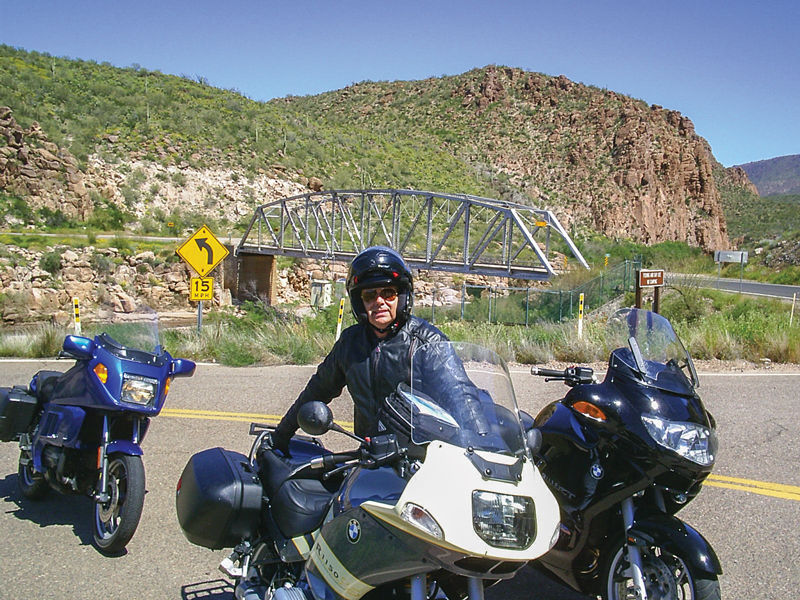
Continue another 30 miles or so to the Globe/Miami junction, meeting U.S. 60. If it’s time to put on the feedbag, there’s an old-time Mexican restaurant, Guayo’s On The Trail, on the left before you get there, or Judy’s Cookhouse is at the intersection where you turn right on U.S. 60. The good ol’ boys and locals go to both, but gourmet dining is unknown in Gila County.
The last westbound segment of the loop runs about 55 miles back to the East Valley. You’ll pass the entrance to the Renaissance Festival, which takes place in March. It’s a great venue to watch guys wearing armor get knocked off their horses with a lance–if watching medieval violence and munching on deep fried turkey legs is your entertainment preference.
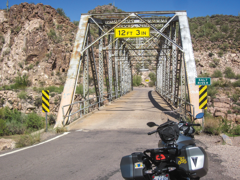
U.S. 60 was one of the few roads to Phoenix before freeways and goes through rugged, spectacular, boulder-strewn mountains and canyons. Most of the road hasn’t changed much in 70 years, until you get closer to the valley. This is copper mining country. Putting a four-lane road through here would cost a mighty sum and rural Arizona is poor, so the road just winds its way as best it can. There are some passing lanes if you get stuck behind slow traffic.
If you had a good ride on this loop, there’s more to enjoy in Arizona in winter. I don’t get tired of it and am thanking my lucky stars to have such a pretty place to ride any time of year.


Hi,
We’re planning a road trip from Flag to Goldfield and then on to Tombstone. We are hoping to bypass most congestion. How twisty is sr 188?
Would it be anything like Jerome?
Thanks for any help you may give
Angie W
Well I’m glad I stumbled onto this site !
I’m bringing my Victory down to my place in Maricopa area this winter , and looking forward to some new adventures !