“You’re riding your motorcycle to find graveyards – on purpose?” The conversation with a young police officer on a road construction detail in western Massachusetts was brief, but it motivated me to share why old graveyards are fascinating places to explore.
Rewind to the 1970s. My dad was a college professor whose academic interests included early New England graveyards. On weekends and summer vacations, he dragged my sisters and me along to find them. Long before GPS, such trips often became a quest since Dad’s approach to navigating involved dead reckoning. “I wonder where that road goes?” he’d say. “One way to find out.” It’s fair to say that Dad informed my interest in exploring on motorcycles.
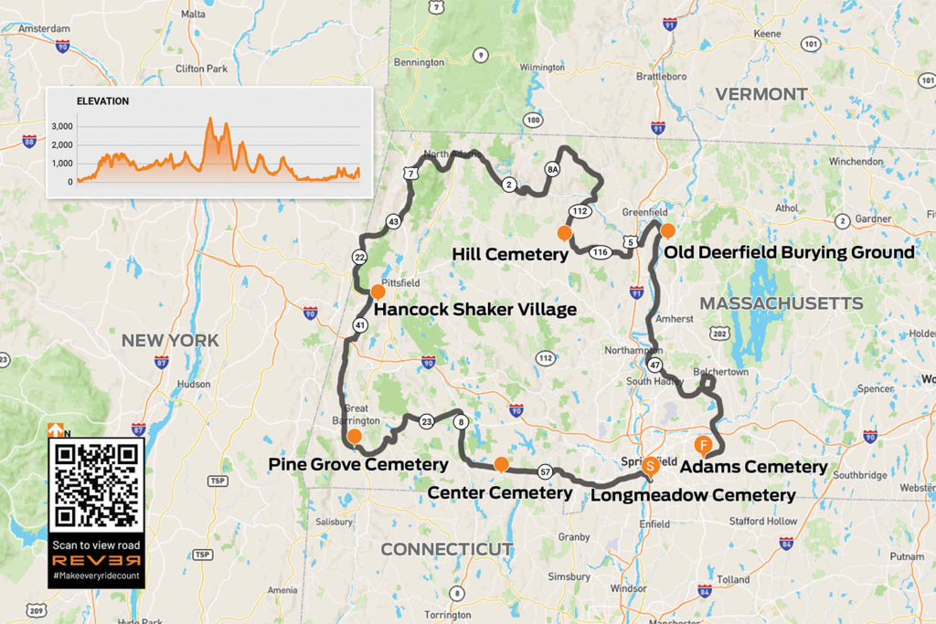
Scan QR code above to view route on REVER, or click here
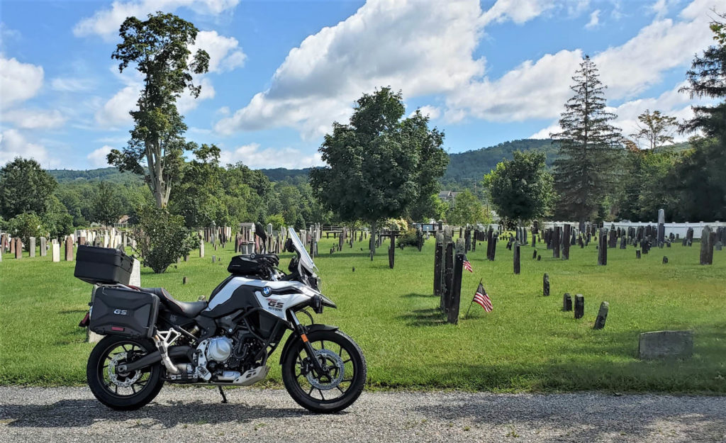
Since Massachusetts has some of America’s oldest communities settled by Europeans, it has some of the country’s oldest graveyards. Three of Dad’s favorites were in the towns of Longmeadow, Deerfield, and Wilbraham, all in the Connecticut River Valley of western Mass. I decide to revisit these graveyards with the benefit of an adult perspective. Since they’re not even 40 miles apart, I extend the ride a couple hundred miles using Dad’s “I wonder where that road goes” approach, and along the way I find other old graveyards to explore.
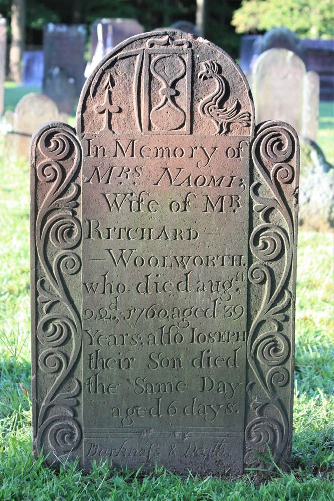
The ride begins in Longmeadow. Along Williams Street, behind historic First Church, is the Olde Burying Ground, c. 1718, a small section within Longmeadow Cemetery. In old graveyards like this, carvings in stone offer insights into family life, social status, occupations, religious beliefs, sickness, tragedy, and the ways people conceived of death.
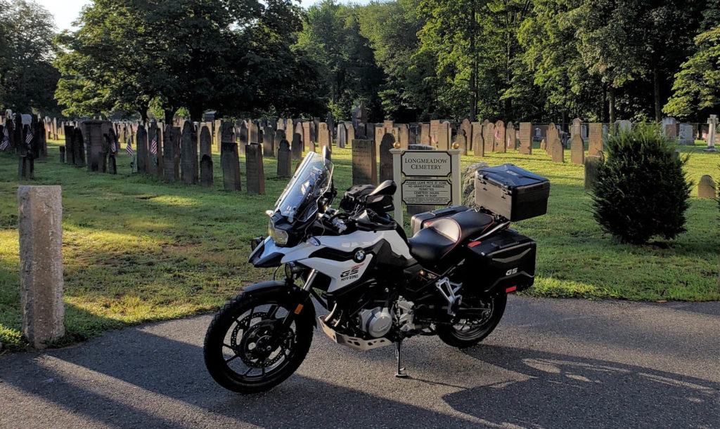
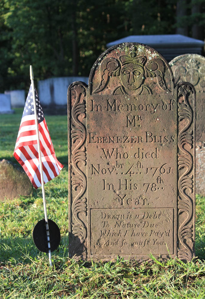
The stone of Ebenezer Bliss concludes with this stark epitaph: “Death is a Debt To Nature Due Which I have Pay’d And so must You.” The nature of one’s death is often explained, such as from smallpox, childbirth, or drowning, although Adjt. Jonathan Burt’s stone leaves us wondering, because he “departed this life in a sudden and surprising manner.”
From Longmeadow, I point my BMW F 750 GS north on U.S. Route 5 across the Connecticut River, then west on State Route 57. To avoid built-up sections of Agawam, I cut through Rising Corner and rejoin 57 past the Southwick fire station. The curves beyond Granville Gorge entice me to quicken the pace, though as I enter the village of Granville a flashing speed limit sign convinces me to roll off.
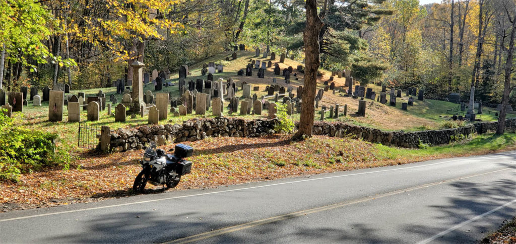
Up the hill beyond the town hall, I come upon Center Cemetery, c. 1753. As with many old graveyards that are no longer “active” (accepting new burials), one cannot drive into this graveyard, so I park just off the road. Also like many old graveyards, it isn’t next to a church. Some early settlers of New England, notably Puritans, located their dead away from the everyday lives of the living.
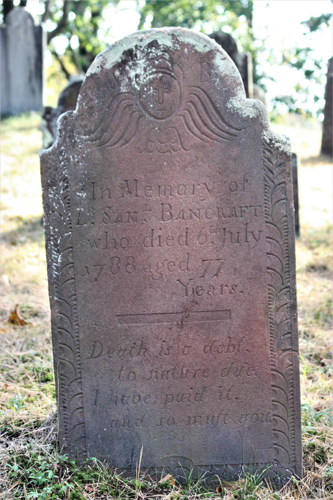
The headstone of Lt. Samuel Bancraft, Granville’s first settler, includes a slight variation of the epitaph I saw earlier in Longmeadow: “Death is a debt, to nature due. I have paid it, and so must you.”
Continuing west, I enjoy several miles of new tar, but on the steep downhill curves to New Boston I am cursing the inventor of tar snakes. Beyond the village, I notice unpaved Beech Plain Road, and a right turn takes me along stands of trees dressed in vibrant yellow fall foliage. There’s not a tar snake in sight.
In Otis, I merge onto State Route 8 north and then lean west onto State Route 23, an entertaining two-lane that hugs the contours of the Berkshire Hills. Past the village of Monterey, I see a sign for River Road. Dad explained that roads of that name are usually curvy and rarely dead end. Right on both counts!
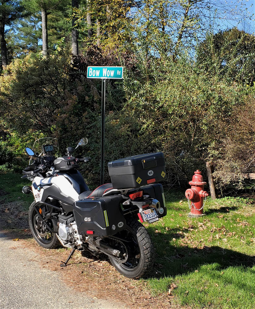
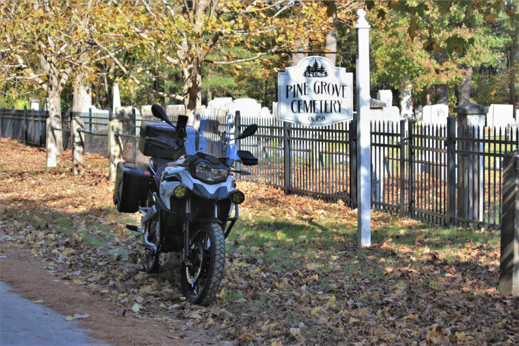
Following a bridge-out detour, I arrive in Sheffield. On the other side of U.S. Route 7 there’s a sign for Bow Wow Road, and being a dog lover, I need to see where it goes. A ways after it turns to dirt, I find Pine Grove Cemetery, c. 1758. I see family plots for Olds and Curtiss and wonder if these graves include ancestors of the automobile and aviation pioneers of those names.
I continue on North Undermountain Road and Pumpkin Hollow Road. At the village of Alford, Center Cemetery, c. 1780, warrants investigation. Among the finds is this pithy epitaph: “Gone not lost.”
Leaving the town center, West Road gets the nod over East Road, and after a couple turns I’m on State Route 41 riding north through Richmond to Hancock. History buffs can visit Hancock Shaker Village. Shakers were a religious community known for their elegantly functional barns and furniture, and for their devotion to celibacy. (The latter may account for their current lack of numbers.)
Heading west on U.S. Route 20 takes me over the New York border to State Route 22 north and Stephentown. A right on State Route 43 returns me to Massachusetts, having sidestepped Pittsfield’s population center. Another right on Brodie Mountain Road leads to U.S. 7 north. At the five-corners intersection, I turn right onto State Route 43 and follow the Green River to Williamstown, a quintessential New England college town. At the junction of State Route 2, a left leads to lively Spring Street and multiple options for eats and coffee.
Refreshed and re-caffeinated, I head west toward North Adams and know exactly where to go: up the Mount Greylock Scenic Byway. This technical twist-fest leads to the highest point in Massachusetts (3,491 ft). Rockwell Road winds me down the other side of the mountain, and at the Mount Greylock Visitor’s Center, I turn around to ride the route in reverse. This 30-mile round trip is too much fun to pass by.
East of North Adams, the scenic Mohawk Trail (Route 2) rises through the famous Hairpin Turn, on to the town of Florida, then back down through Mohawk Trail State Forest. Exciting curves and elevation changes are enhanced by the clear autumn day. At Charlemont, I go north on State Route 8A, another twisting gem, to Branch Road, which tracks the west branch of North River east to State Route 112. This two-lane path curves quick and easy south to Ashfield where a left on State Route 116 puts me on a favorite twisty two-lane. But first, I stop at Elmer’s, an eatery popular with locals as well as motorcyclists passing through.
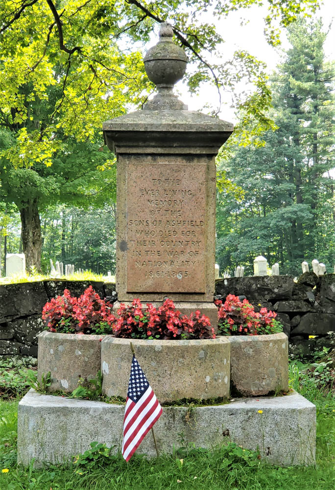
While jawing with some old-timers, I learn there’s a “really old” graveyard I should see on Norton Hill Road. As I pull up to Hill Cemetery, I can tell from the styles of gravestones that it’s no older than mid-19th century, but a war memorial right next to the road rewards the stop. Erected in 1867, it includes this wording: “TO THE EVER LIVING MEMORY OF THE SONS OF ASHFIELD WHO DIED FOR THEIR COUNTRY IN THE WAR OF NATIONALITY 1861-1865.” It’s the only place I have seen the U.S. Civil War described using this term.
At Creamery Road, I turn left toward South Ashfield then savor those curves on 116 to South Deerfield. It’s easy to bypass busy U.S. 5 via Lee Road and Mill Village Road to reach the Old Deerfield historic district. There, at the end of Albany Road, is another of Dad’s favorite graveyards, the Old Deerfield Burying Ground, c. 1690s (aka Old Albany Cemetery).
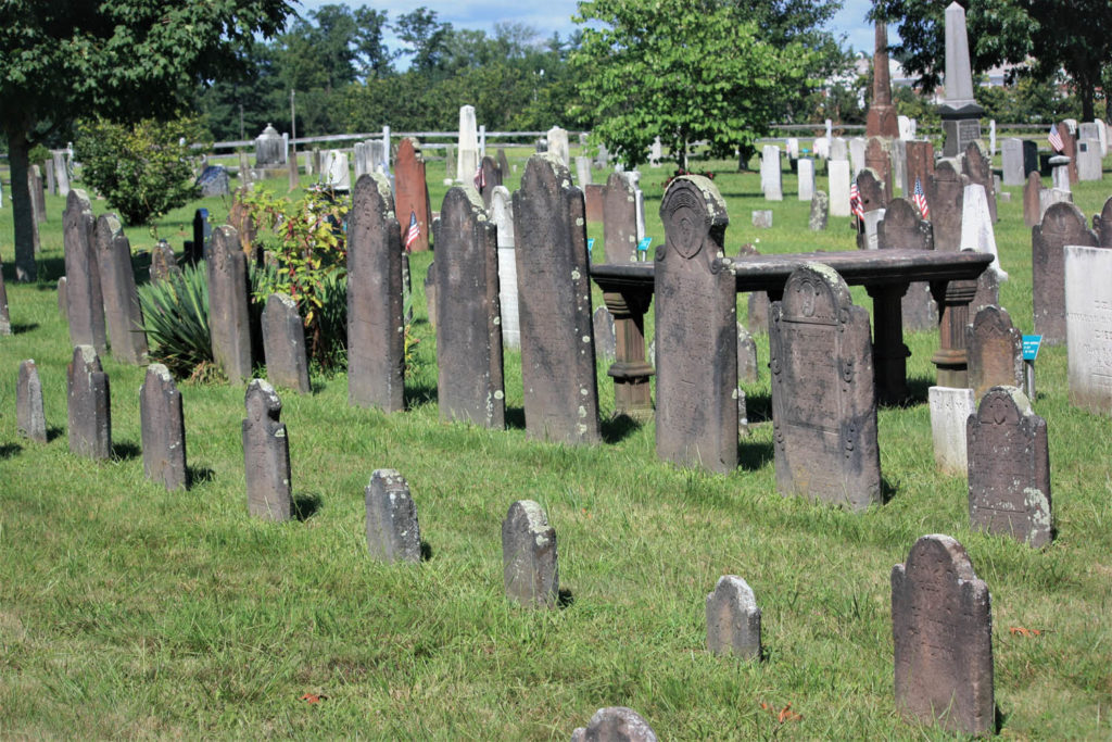
More than a dozen stones date back to the 1600s, the oldest one for Mary Blanchard, who had 10 children with her first husband, John Waite, and nine more with her second husband, John Blanchard. Notably, this graveyard includes a monument to 47 settlers killed during a raid on the town by native residents and their French military allies on February 29, 1704.
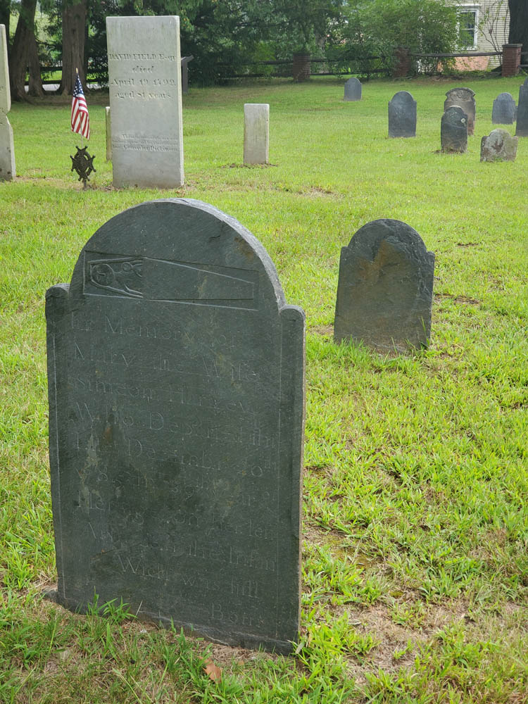
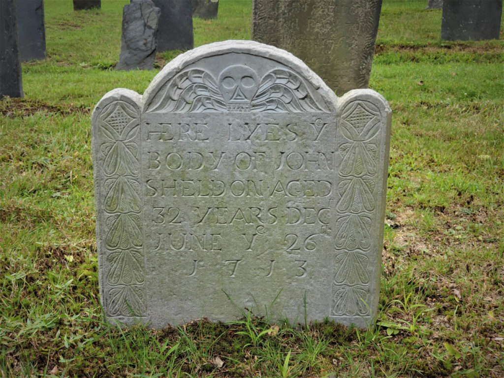
Walking the rows of stones, it’s intriguing to note how the styles have evolved over time. Early carvings with skulls gave way to skulls with wings, then winged angels, and then urns with weeping willows. Few parents still give their newborns names like these: Eleazer, Flavia, Zenas, Temperence, Dorcas, Ithamser, Arrethusa, and Thankfull Experience. Also here is a gravestone for a young woman whose name is hard to read without chuckling: Fanny Forward.
Leaving Deerfield, a short stretch north on U.S. 5 connects to another River Road, this one following the Connecticut River south to Mount Sugarloaf. Beyond the bridge, a right onto State Route 47 south follows the river’s other bank where harvested tobacco fields and the Mount Holyoke Range provide scenery.
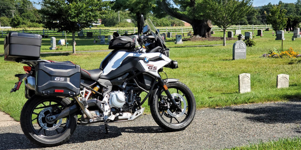
Keeping to roads less traveled, I make my way through South Hadley, Belchertown, Ludlow, and Wilbraham, to Adams Cemetery, c. 1740. Gravestones here include dozens with epitaphs that speak to the difficulty of life and inevitability of death. Consider two:
- “Friends and Physicians could not save, My mortal body from the grave.”
- “Youth blooming learn your mortal state, How frail your life, how short the date.”
It’s fitting that Dad is buried here in one of the graveyards that so intrigued him – particularly one that is actively preserved and celebrated as a historical resource. Even if the graveyards in your neck of the woods aren’t as old, it’s likely they’re peaceful, beautiful, and interesting places to explore. When you’re enjoying a ride, take the opportunity to experience history in outdoor museums along the way. Explore old graveyards – on purpose.

