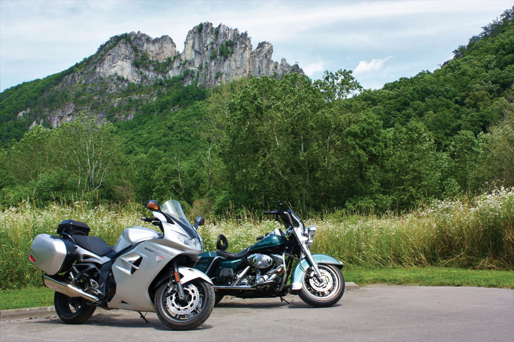
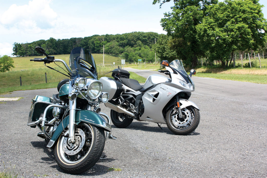
It’s not until we exit Interstate 81, run through some gears on U.S. Route 48, and catch a whiff of dew-covered fields that I feel like we’ve arrived. Craig, a friend from college who lives in the suburbs of Philadelphia, has a pass for the weekend, so he came down for a ride with me to Seneca Rocks through “Wild and Wonderful” West Virginia. He’s on his 2000 Harley Road King and I’m on my 2011 Triumph Sprint GT.
Check out more of Rider’s Favorite Rides
Our starting point is Manassas, in northern Virginia, and the fastest route west to the Appalachians is Interstate 66, followed by a three-mile hop on I-81 before we exit and turn onto U.S. 48.
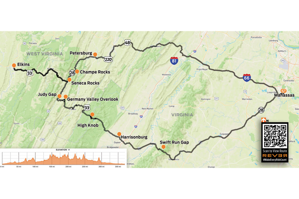
Scan QR code above to view route on REVER, or click here
Once off the interstate, everything changes. Time – and our speed – slows down, giving us the opportunity to notice our surroundings. Simple houses have cinder-block foundations and detached garages. Folks out here don’t walk behind wimpy electric mowers, and they don’t put grass clippings in bags. Out here they proudly ride large gas-powered mowers, with clippings flung far and wide across expansive yards. We take in that unmistakable smell of freshly cut grass – it smells like summertime.
U.S. 48 is two-lane road with farmland on both sides for about five miles before ascending through the forest and over the ridgeline that serves as the border between Virginia and West Virginia. It’s a quick descent on a 9% grade to Wardensville, where 48 gets a major makeover and becomes a four-lane divided highway. Before the superhighway starts, we divert to Old Route 55 (McCauley Road) and wind our way through the shaded Lost River valley.
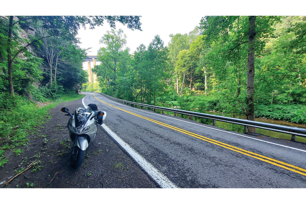
We hop back on 48 just before Baker and make our way to Moorefield, where we head south on Main Street (U.S. Route 220). The road flattens out through more farmland, but mountains on all sides feed our anticipation of future switchbacks. At Petersburg, we continue west on State Route 28 and follow the North Fork South Branch Potomac River, which carved one of the many gaps through the mountains.
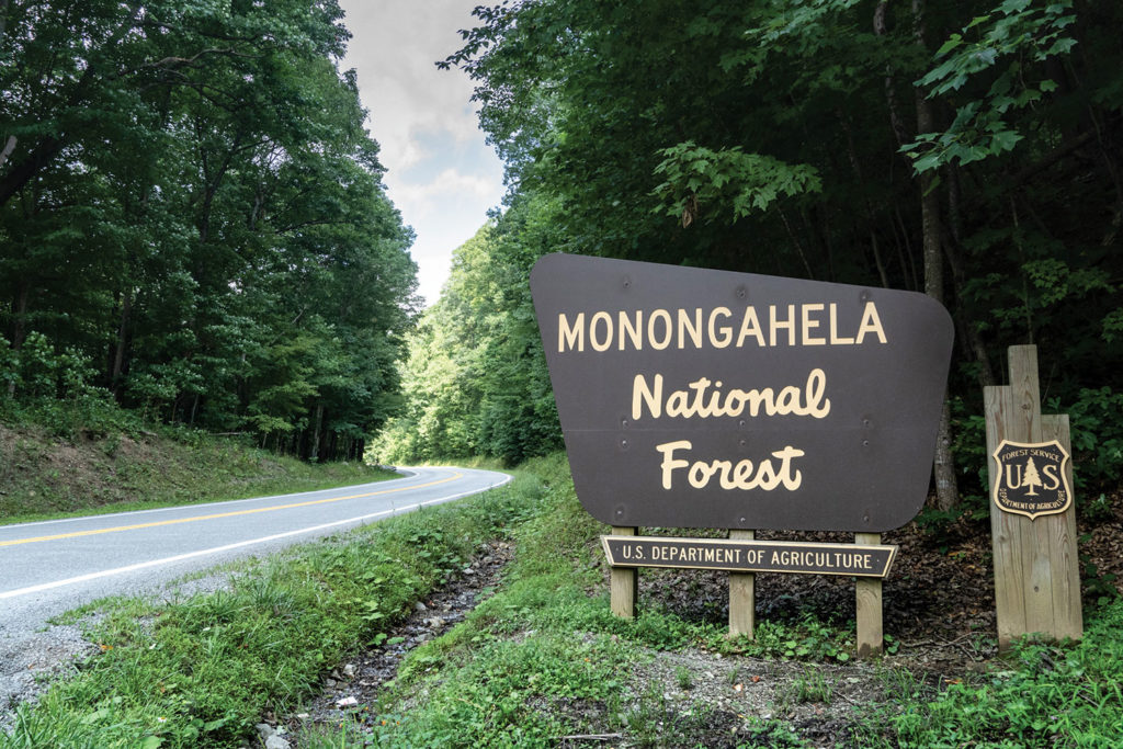
Heading south, we catch glimpses of Champe Rocks, a pair of vertical crags that emerge from the Champe Knobs in the Allegheny Mountains. Roughly 230 million years ago, rock that was once at the bottom of the sea was pushed up until it became vertical. Softer rock eventually eroded, but the quartzite that makes up the fin-looking outcroppings is much harder and still stands today. The rocks are within the Spruce Knob-Seneca Rocks National Recreation Area in the Monongahela National Forest. Cabin rental advertisements along the road speak to the great fishing, canoeing, hiking, and camping to be found nearby.
Before long, the Seneca Rocks formation – a well-known scenic destination in the Mountain State – emerges from the dense forest of the River Knobs range. The rock walls are popular among climbers, but after our 150-mile morning ride, Craig and I are more interested in eating. We kick out our stands at Yokum’s Vacationland, at the junction of Route 28 and U.S. Route 33. In business since 1923, Yokum’s has a general store, a deli, a motel, cabins, and a campground.
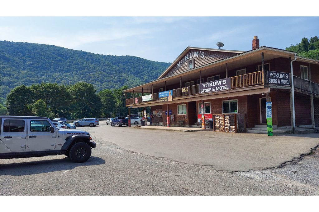
The short-order grill is in the back of the store, so Craig and I walk past all manner of local goods (Traffic Jam catches my eye) and order lunch. Being from Philadelphia, Craig surprises me by ordering a Philly cheesesteak, but the result looks even better than my cheeseburger, which hits the spot. After our meal, we ride a couple hundred yards down the road, park the bikes in a lot along Roy Gap Road, and walk to the river, our eyes focused on the climbers high above on the rocks. We agree that Yokum’s would make a great hub for riding some of the more adventurous routes through the eastern part of the state.
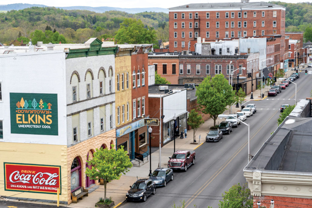
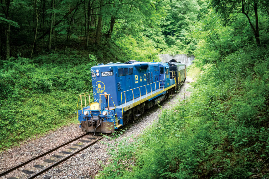
A curvy 35-mile ride west through the Alleghenies on U.S. 33 brings us to Elkins, a classic American town with restaurants, bars, hotels, and shops. In the center of town is the West Virginia Railroad Museum and a historic train depot that’s one of the stops on the Durbin & Greenbrier Valley Railroad, a tourist train that travels through rugged mountain scenery.
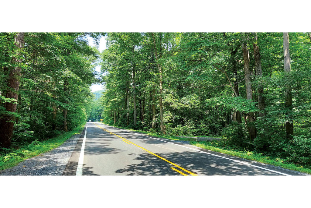
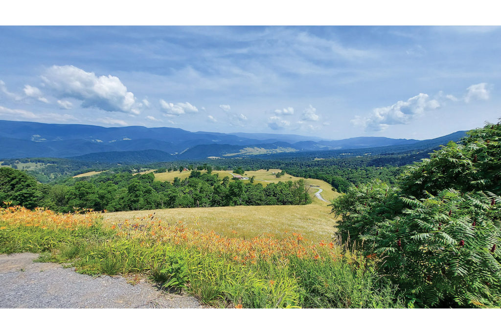
After returning to Seneca Rocks, we continue south on U.S. 33, which makes a sharp turn to the east at Judy Gap. On the ascending turns I’m tempted to open up the throttle, but I check my urge so as not to miss Germany Valley overlook – a great view of the valley and the River Knobs range just before the crest of North Fork Mountain. Thirty miles later we crest High Knob and cross back into Virginia. On the descent, where the road is straight and the old growth creates a canopy a hundred feet above, it feels like riding through a cathedral.
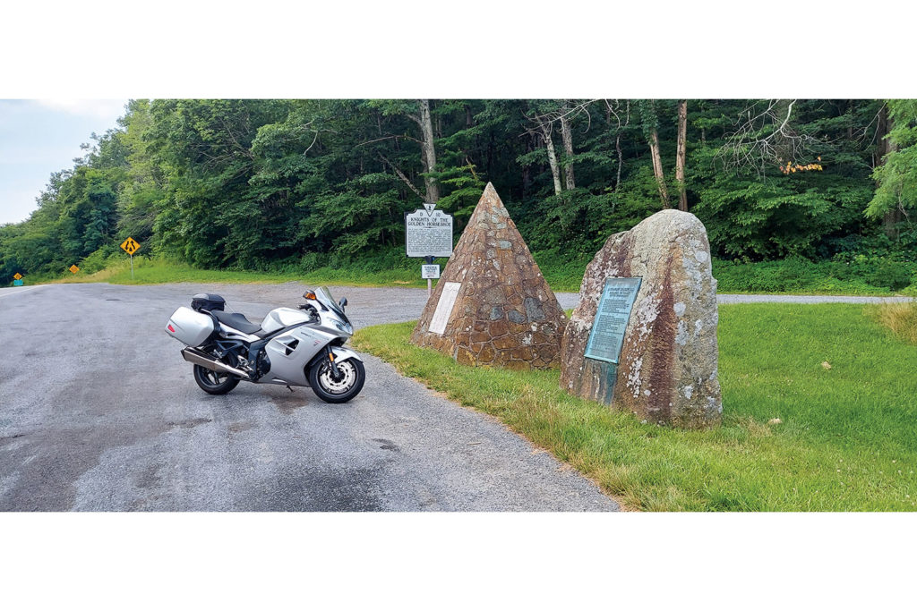
We brave the stoplights and traffic of Harrisonburg before again ascending to Swift Run Gap, where Shenandoah National Park’s Skyline Drive intersects with U.S. 33. Two monuments give a bit of history of the pass, where in 1716 Lieutenant Governor Spotswood and a group of rangers, Native Americans, and government officials set out to prove that an easy path over the Blue Ridge Mountains existed.
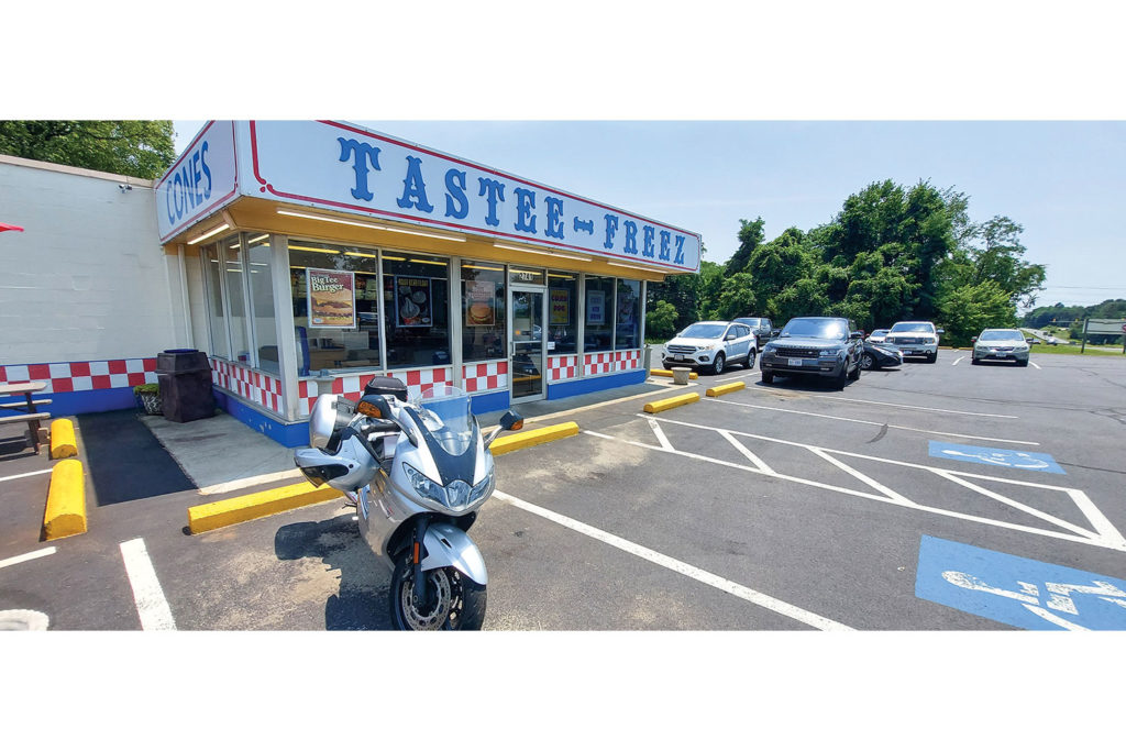
At Stanardsville, we take Business Route 33 through the historic district. We turn north on State Route 230, which eventually ends at U.S. Route 29, where we again turn north. Less than half a mile later we stop at a brightly colored Tastee-Freez to escape the summer heat and wolf down hot fudge sundaes. A local informs us it’s the oldest continuously operated, privately owned Tastee-Freez in America.
The mountains fade from our mirrors as we continue northeast toward our starting point. We’ve only scratched the surface of what we can discover in West Virginia, and we’re eager to return.


