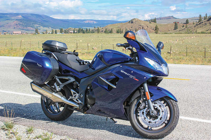
Years ago my father’s fingers traced the route of a ride on a map of southwestern Colorado, over towns named Cortez, Dolores, Telluride, Montrose and Lake City. Colorado already has a name for part of our route, the San Juan Skyway Scenic Byway. A few years later, my dad and I embarked on that trail. I was riding his Triumph Sprint GT and he was riding his Gold Wing.
Day one, we gassed up in Dolores, home to a replica of the Rio Grande Southern Railroad’s Dolores Station. Gold discoveries in the late 1800s created a boom time for railroads in the San Juan Mountains. Times have changed and left in the wake are the discarded railroad ties, piled high in some places and half-consumed with weeds.
The 73 miles of State Highway 145 from Dolores to Placerville are sheer joy. The ride is all high country and sweeping curves, with morning and evening shade from the San Juan Mountains and remarkable scenery that just gets better as you ascend. Towns like Rico (“rich” in English) tell a story that echoes throughout these mountains. Trappers worked the valley in the 1830s and discovered what could only have been prior mining operations by the Spanish. Striking the Enterprise Lode in 1887 made David Swickheimer a millionaire, and four years later the railroad arrived. By 1892, Rico was home to 5,000 people, 23 saloons, three blocks of red light district and two churches. Eight years later only 811 people remained.
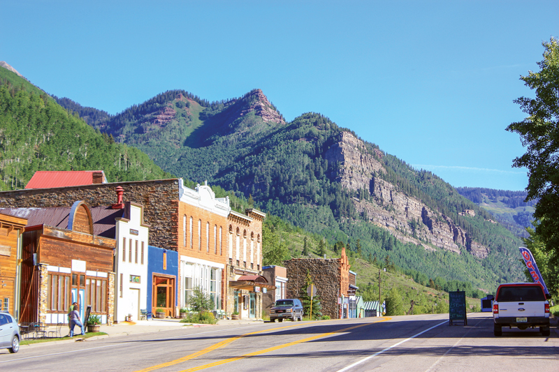
Farther up State Highway 145 is Telluride, another mining boomtown of the late 1800s. It sits in a canyon and is favored with a great view of Ingram Falls. My dad didn’t allocate any time for Telluride, so we cruised through the main drag at the enforced 15 mph, made a U-turn in a parking lot and circled back.
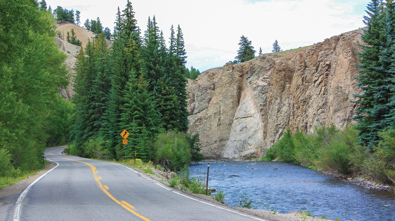
Telluride to Placerville is 16 miles of blacktop that flanks the San Miguel River, shades itself in a gorge and surrounds itself with high mountain trees. Placerville to Montrose is more high country riding with plenty of mountain views and light traffic. We pulled into the Red Barn Restaurant & Lounge in Montrose. You can’t miss it—a large cow prominently adorned atop the sign out front will be your beacon. After lunch, it was on to Lake City via U.S. Route 50 and State Highway 149. The last stretch on Highway 149 is idyllic, with the road once again flanking a stream and embraced between mountain walls.
Lake City is a gem and a perfect end-point for day two. It boomed in the late 1800s and some of the downtown area looks like it hasn’t changed since. We stopped in at the History Hut and struck up a conversation with the proprietor, a retired Baltimore police officer. He traced a high quality, reproduction map drawn in 1803 by Nicholas King with his finger and explained why Lewis and Clark had edited certain areas.
Morning on the third day we ascended to riding bliss on Highway 149 south. Up and over Slumgullion Pass at 11,530 feet and for roughly 50 miles to Creede we owned the road. We stopped to take some photos and discovered the headwaters of the Rio Grande off to our right. After marveling at natural beauty in its infancy, we rolled on the throttle and followed the Rio Grande as it descended.
Remnants of the Denver and Rio Grande Railway, which had been extended to Creede in the 1880s, still exist and parallel Highway 149 and the Rio Grande. All three trace their way down the mountain to South Fork, where the tracks end and a late breakfast at The Old Firehouse—eggs, toast, sausage and potatoes—was served on what could easily double as a mining pan. We turned right on U.S. Route 160 toward Wolf Creek Pass where, as a neophyte rider, my pucker reading was off the scale down the roughly 5,000-foot descent through the Rio Grande National Forest. At the bottom there’s a nice pullout for photos. After the serene bliss of the morning and afternoon, continuing into Durango was an unwelcome scene of traffic and traffic lights.
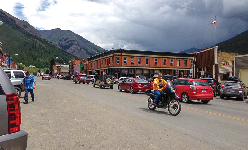
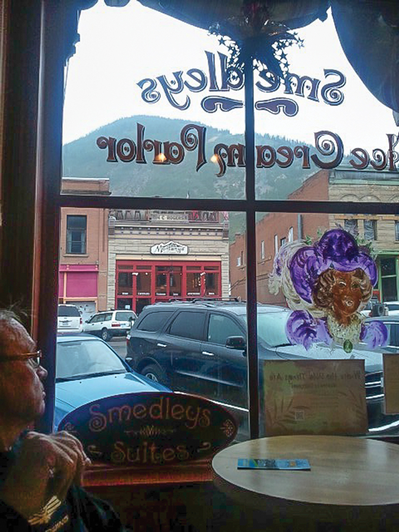
Our final day’s route would have taken us on the Million Dollar Highway (U.S. Route 550) from Silverton to Ouray. With dark clouds forming to the south, we stopped to eat an early lunch in Silverton and see what the weather would do. Sure enough, a brief downpour followed by a light drizzle ensued. We ducked into Smedley’s Ice Cream Parlor for coffee, our plan of making it all the way to Ouray scrapped. Eventually, we donned rain gear and retraced our route back to Durango. We had struck the mother lode with this ride, and at the hotel, our fingers traced a different route for a future one.


