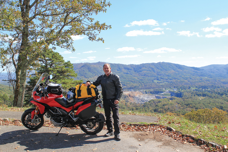
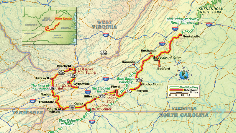
Virginia’s Blue Ridge Mountains in autumn are a place of unique beauty not to be missed, especially from the open cockpit of a motorcycle. From my home in the northern tip of the state, the Virginia border runs diagonally southwest for more than 300 miles, parallel to the ridges and valleys of the mountains.
In the southwest corner are my two ride objectives: the Back of the Dragon, a 32-mile run of elbowing blacktop crossing three mountain ridges, and The Crooked Road, a collection of live music and historical venues along scenic motorcycle roads showcasing the regional specialty: bluegrass music. I also plan to make use of the scenic Blue Ridge Parkway, but only when my ambitious schedule will let me travel at the Parkway’s reduced speed limit of 45 mph.
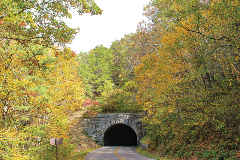
It takes a day to get to my start point of Wytheville, but not without a midday detour along the Blue Ridge Parkway from near Montebello to Buchanan. I share the view at numerous overlooks with other riders, then enjoy lunch on the shore of Abbott Lake beneath the Peaks of Otter. There’s no wondering why the Parkway consistently rates among the top five motorcycle roads in the United States. A rider’s dream, the curvy ridge-top road runs through stone-arched tunnels and next to lakes, campgrounds and lodges–all completely devoid of traffic lights, stop signs and large trucks. Free for public use, the Parkway is open all year except in icy conditions.
Next morning I wake up in Wytheville to a steady rain lingering longer than forecast and wind gusts flexing the glass of the hotel window. I decide to motor circuitously and enter the Back of the Dragon at the north point to allow time for the rain to move out. I take U.S. Route 52 and enjoy a satisfying and twisty climb to Big Walker Lookout, elevation 3,405 feet. Here I find the Big Walker General Store and take a short break to enjoy the terrific views under overcast skies.
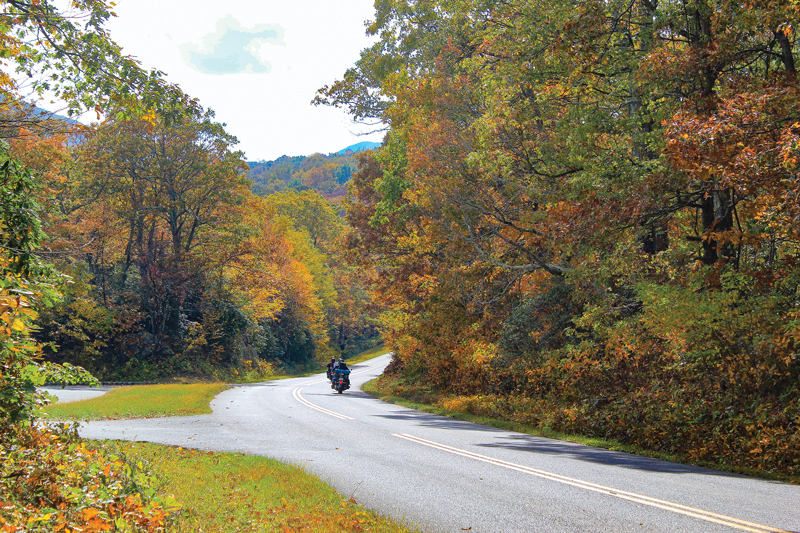
From there U.S. 52 curves downhill, then runs over rolling terrain alongside Interstate 77 for 20 or so miles—then suddenly joins the interstate and punches through a mile of mountain rock at the East River Mountain Tunnel. I then head west on U.S. Route 460 to Tazewell and turn onto State Route 16–the Back’s north entry point. Thankfully, the rain has stopped and the road is mostly dry.
There are neat, steady curves across the first ridge before dropping more than a thousand feet for a two-mile cruise through a gorgeous, Shire-like valley. The road then winds up the face of the second ridge and slices behind towers of leafy kudzu. Then come mile upon mile of pleasing twists along the second ridge before switchbacking downhill into the second valley, a nice break before the final 1,500-foot climb.
My growling and nimble Ducati Multistrada eats up the twisty climb and we loop through bursting autumn colors that surround rocky crests. The road surface is mostly excellent, though I did encounter a little gravel in spots.
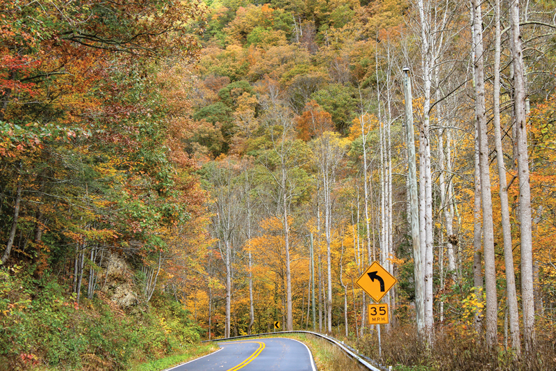
State Route 16 continues south through Marion and later connects with U.S. Route 58–I’m now officially on The Crooked Road. Designated by the state of Virginia in 2004, The Crooked Road uses U.S. 58 as a central conduit but includes connected roads leading to festivals, museums and live music sessions, all associated with the heritage of bluegrass and country music.
I’m committed to being at the Floyd Country Store for the Friday Nite Jamboree, so I shortcut there on U.S. Route 221. Time permitting, I recommend an alternate route using the Parkway to Floyd and stopping by the Blue Ridge Music Center near Galax for the live music each afternoon.
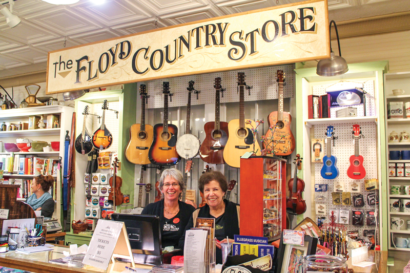
The Floyd Country Store is a crown jewel of The Crooked Road. A modest cover charge of $5 gets me in the door. After an initial set of bluegrass gospel, folks are clearing away folding chairs and dancing to the fast-paced syncopation of Katie & The Bubbatones. Many “flatlanders” like myself are simply tapping our feet, but it’s clear that this lively music is still an important way for local folks to unwind after a busy week. On my way out I bag a pastry at the store’s bakery to have with next morning’s coffee.
The sun rises to a chilly but crystal clear morning as I depart Floyd’s cozy Pine Tavern Lodge, a clean and updated hideaway that has continuously served travelers since 1927. A peaceful winding ride on State Routes 8 and 40 takes me through elevated meadows and rolling farms, across small wooded creeks and finally to the Blue Ridge Folklife Festival in Ferrum. You’ll find such festivals along The Crooked Road almost any weekend from June through October.
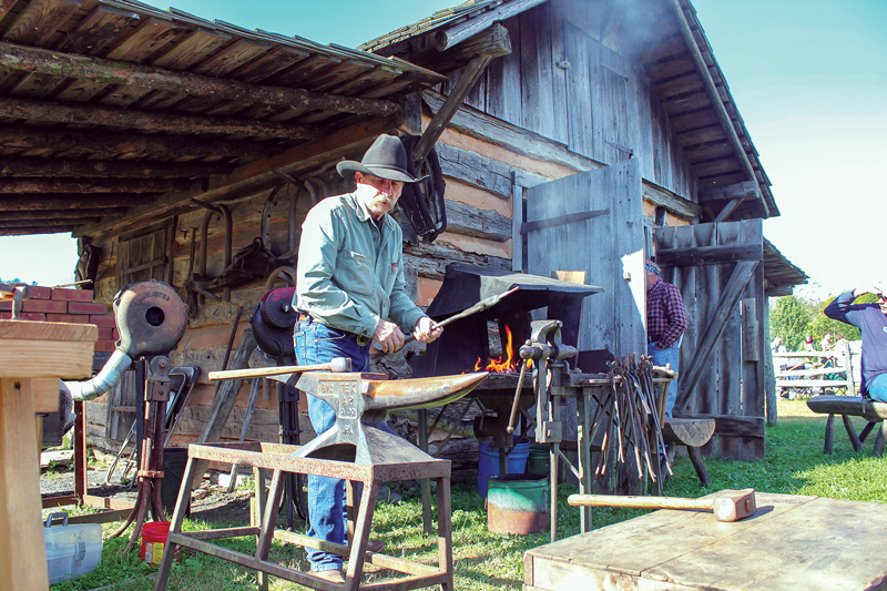
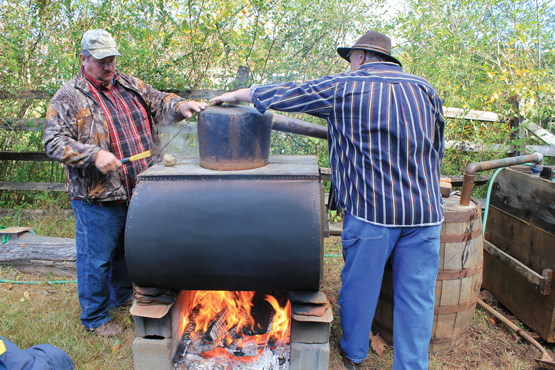
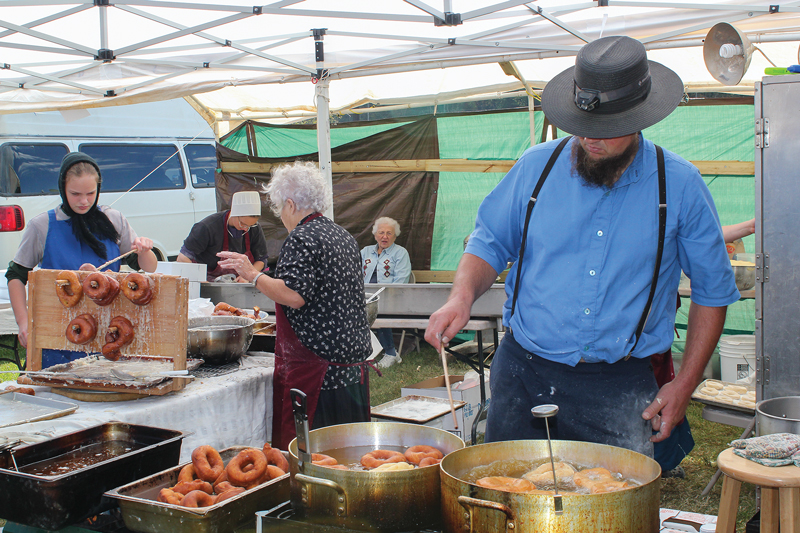
I decide I need a final cruise on the Parkway so I get there by U.S. 220. Once on the Parkway, two groups of motorcyclists are going my direction, and we leapfrog along the Parkway as we take turns stopping at different overlooks. I exit the Parkway for good on State Route 43 for the small town of Bedford, a place that possesses the tragic distinction of losing more residents per capita in the D-Day landings than any other American community. Bedford’s D-Day Memorial is a good, quiet place to reflect on how fortunate I am to be able to traverse through Virginia’s natural, cultural and historical sites before continuing on home–back to the flatlands.


Great article and pictures! The author’s desciptive language really captures the feel of Southwest Virginia.
Fantastic writing and photos. Makes one appreciate this beautiful part of our country
Well done Joe Manion
Love it! Makes me want to go there…
Great read and beautiful pictures, reading on my lunch break as snow falls outside and ice moves in for tomorrow.. Look forward to spring and riding in clean crisp air.
HELP! The butcher knife my daddy made around 1927 is spring steel and holds a wonderful edge, but it’s getting brittle. I need Billy Phelps to advise me about getting another knife made. I live in Grayson County and used to see him in Hebron but it’s been a long time.
Wow! Reminds me of driving through the mountains of North Carolina years ago. I think Im gonna have to buy me a bike now and replicate Joe’s great adventure through Virginia. We just gotta preserve our amazing forests…Love this country!
Thanks for sharing your journey! It inspired me to want to get back on a motorcycle and ride again!
Thanks for rekindling the Memories!! We’ve (my buddy Dan) ridden TBOD 3 times with our wives. He’s been on the ‘Tail’ 2 or 3 times a says the Back of the Dragon is preferred, the pull off vistas are exceptional!! As is the road surface. On one of our last trips down to that part of this wonderful country we took in ‘Burks Garden’ out of Tazewell, later ‘Grayson Highlands Park’ both are beautiful bike roads.We live in Ohio between Canton and Akron. We have some great roads here in Ohio, State route #555 better known as “The Triple Nickel” out of Zanesvile, Oh. Most anywhere South of I-70 will lead you to some great bike roads.