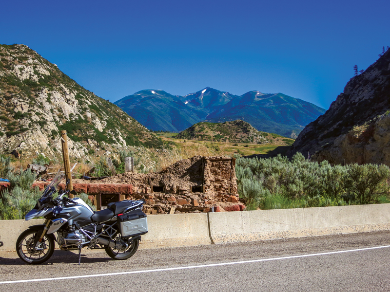
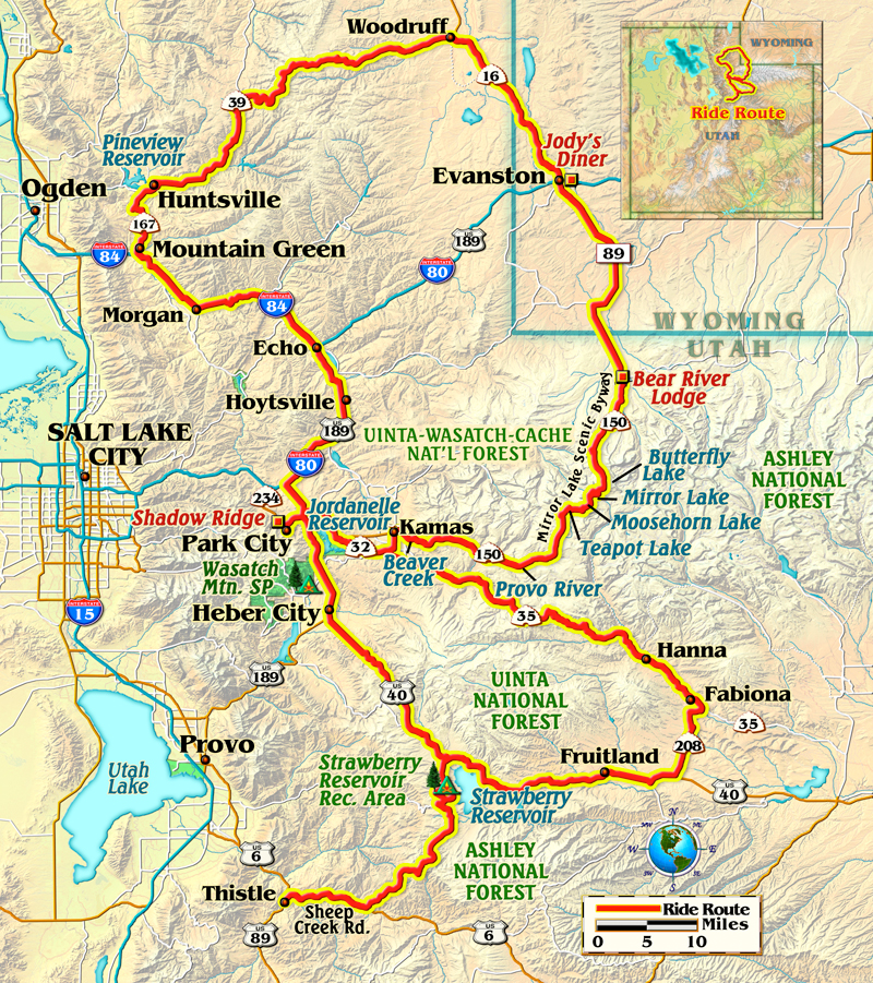
I unfold a Utah map on my outdoor table at the Main Street Deli in Park City’s bustling downtown. After placing my gyro sandwich plate over the state’s southern half, I study the upper portion of the map. With my yellow highlighter, I carefully trace out my two enticingly twisty, yet distinctly different loop rides. One emanates southeast of Park City and the other extends to the northeast.
This picturesque hamlet will be my home base for an exploration of Utah’s high country. Nestled in the mountains due east of Salt Lake City, Park City was the site of much of the competitive activity of the 2002 Winter Olympics. The town rests at the base of the ski run-lined mountains that are its winter lifeblood.
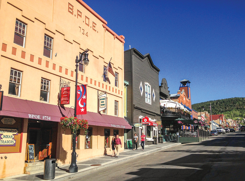
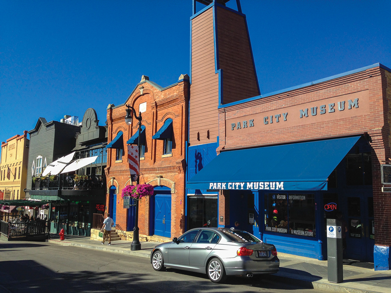
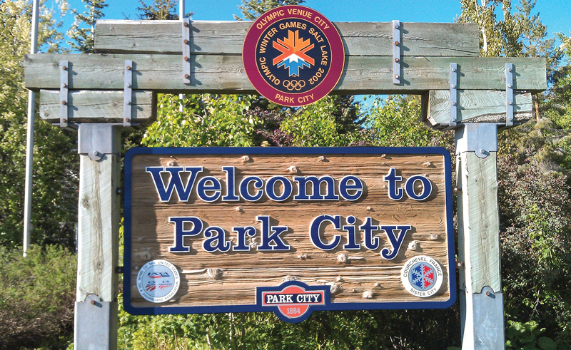
Park City buzzes with activity in all seasons. In winter, ski boots and fur-lined parkas are the attire de rigueur. However, mid-summer is the perfect time to pull on the riding boots and armored jacket and hit the road. The upscale village offers (slightly) discounted lodging for summer activities, like my planned double-loop foray into some of the most varied and striking motorcycle riding the Southwest has to offer.
After wiping the Greek tzatziki sauce from my whiskers, I am ready to throw a leg over my BMW R 1200 GS for an afternoon ride.
The Southern Loop – Wide Open Spaces
Following a short ride east through the historic buildings, ski chalets and bustling activities of Park City, I start my ride on U.S. Route 40. The long, sweeping corners are lined with grasslands and a wide variety of summer wildflowers. In no time, I am riding with the blue waters of the Jordanelle Reservoir to my left. The substantial body of water is virtually treeless, offering up miles of views.
Just a few miles after the reservoir, I roll through clean and tidy Heber City. Like most of the Mormon-founded towns in Utah, Heber City features a mix of modern homes and buildings as well as historic pioneer-era structures.
After Heber City, the human element fades, and the grasslands and low trees again define the landscape. Traffic is refreshingly light, and the undulating pavement is smooth and fun. The farther southeast I ride on U.S. 40, the curvier the tarmac becomes. This is a relaxing ride that requires little on the technical riding front, but offers much in terms of long-perspective visuals.
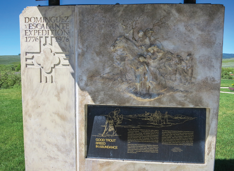
Strawberry Reservoir is the next notable water feature on the ride and it is substantially more expansive then the Jordanelle. I make the turn into the Strawberry Reservoir recreation area, and stop by the U.S. Forest Service depot that rests at the entrance to the area. The tidy Forest Service facility is a treasure-trove of information on the Dominguez–Escalante Expedition of 1776. The Spanish expedition was conducted to find and map a route from Santa Fe, New Mexico, to the Spanish missions in California.
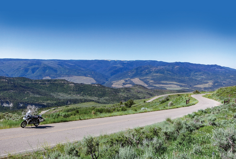
The paved roads that flank the reservoir are too much to resist, and I spend a fair amount of time exploring the lake’s shoreline. Having heard of the great views and interesting endgame offered after a ride south of Strawberry Reservoir on Forest Road 42, I decide to give the big BMW a little light dirt duty. The well-groomed 10-mile gravel and dirt road ultimately leads to the entertaining and paved Sheep Creek Road. The road turns out to be a wonderfully winding stretch that is virtually devoid of traffic, and yes, the views are spectacular.
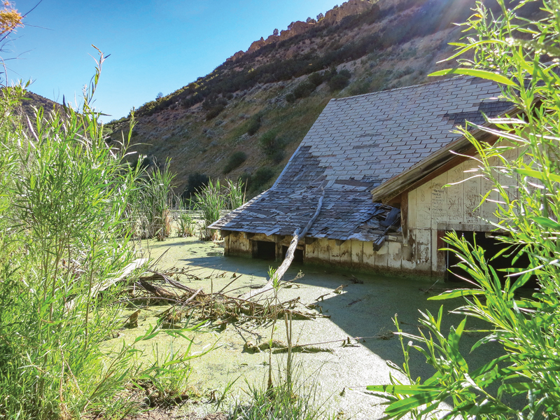
So what about that interesting endgame? I visit the strange, semi-submerged ghost town of Thistle, which was completely flooded when a massive landslide dammed the Spanish Fork River in the 1980s. After exploring the wet ruins and imbibing the eerie ambiance, I retrace my ride back to Strawberry Reservoir. This out-and-back is something you can omit from the ride if you are not comfortable with a short foray off of the tarmac.
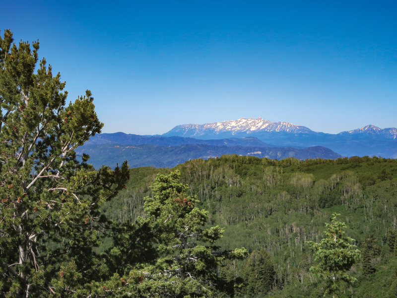
I rejoin U.S. 40 for several more miles of sweeping turns accented with outcroppings of rock formations and low cliffs before heading north on State Route 208. After that stretch, I head back toward Park City on State Route 35. This northwestern ride is a delightful climb back into the mountains. The terrain morphs from grasslands to chaparral to forestland in a span of about 40 often-curvy miles. That forested segment would be a foreshadowing of the next day’s ride.
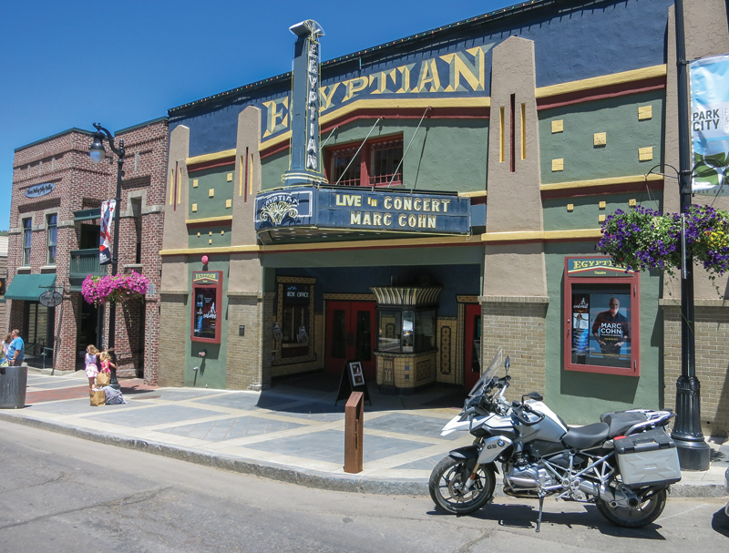
I roll back into Park City after 230 miles of moto entertainment. I settle into my room at the Shadow Ridge Resort Hotel and then shower up for a walk to the downtown district for dinner and to catch the Mark Cohn concert at the historic Egyptian Theater. The revived theater is an intimate 300-seat venue, which, in addition to concerts, serves as a site for the annual Sundance Film Festival. Both Cohn and the Egyptian prove to be completely enjoyable.
My day ends with a local microbrew and then a slow and satisfying walk, not “in Memphis” like Cohn had just crooned, but rather through the cool night air of Park City. The stroll back to my hotel is a fine culmination to a fantastic day.
The Northern Loop – Mountain Lakes and Waterfalls
I intentionally leave a full day for the second of my loop rides. Map study and Internet searches have revealed a full slate of reasons to throw down a kickstand along the route. Mountain lakes, rivers, waterfalls and forest vistas are on tap.
I leave Park City in the same direction as the day before, but just a few miles free of the town, I start my northwestern sojourn into the Uinta-Wasatch-Cache National Forest. Just miles into my ride on State Route 150, also known as the Mirror Lake Scenic Byway, it becomes crystal clear just how different this ride will be than that of the prior day.
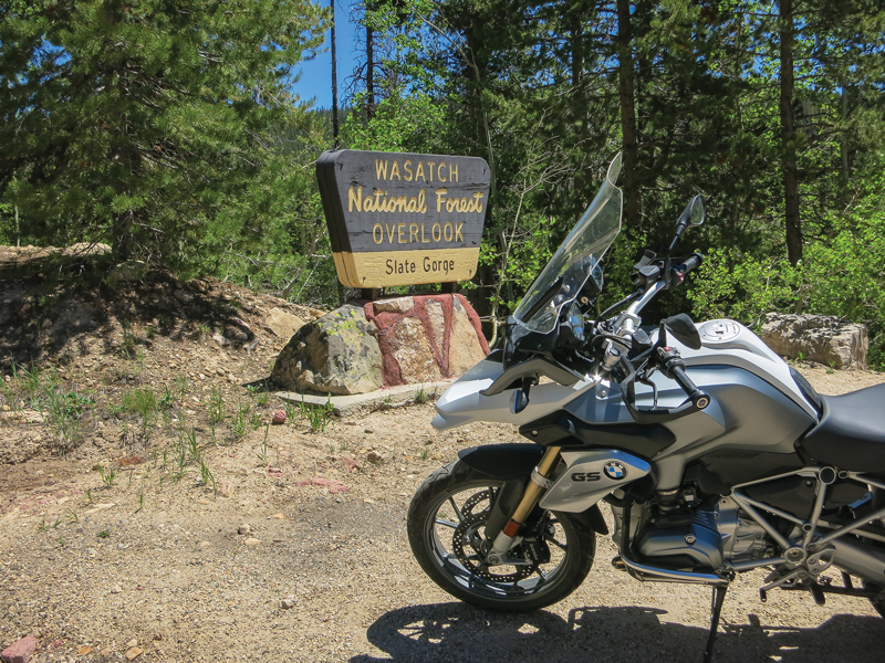
The long, lazy sweepers of the lower loop have been replaced with tighter, more technical corners on this northern ride. The evergreens that line the roadway increase in height with the rise in the elevation. Vibrant forest greens color my ride into the Uinta Mountains.
The blue-green waters of Beaver Creek skirt the early miles of the climb up Route 150. When the route turns northward, it is the Provo River that flows along the ride. At about the 40-mile point in the loop the rushing and tumbling Provo River Falls are a great first stop.
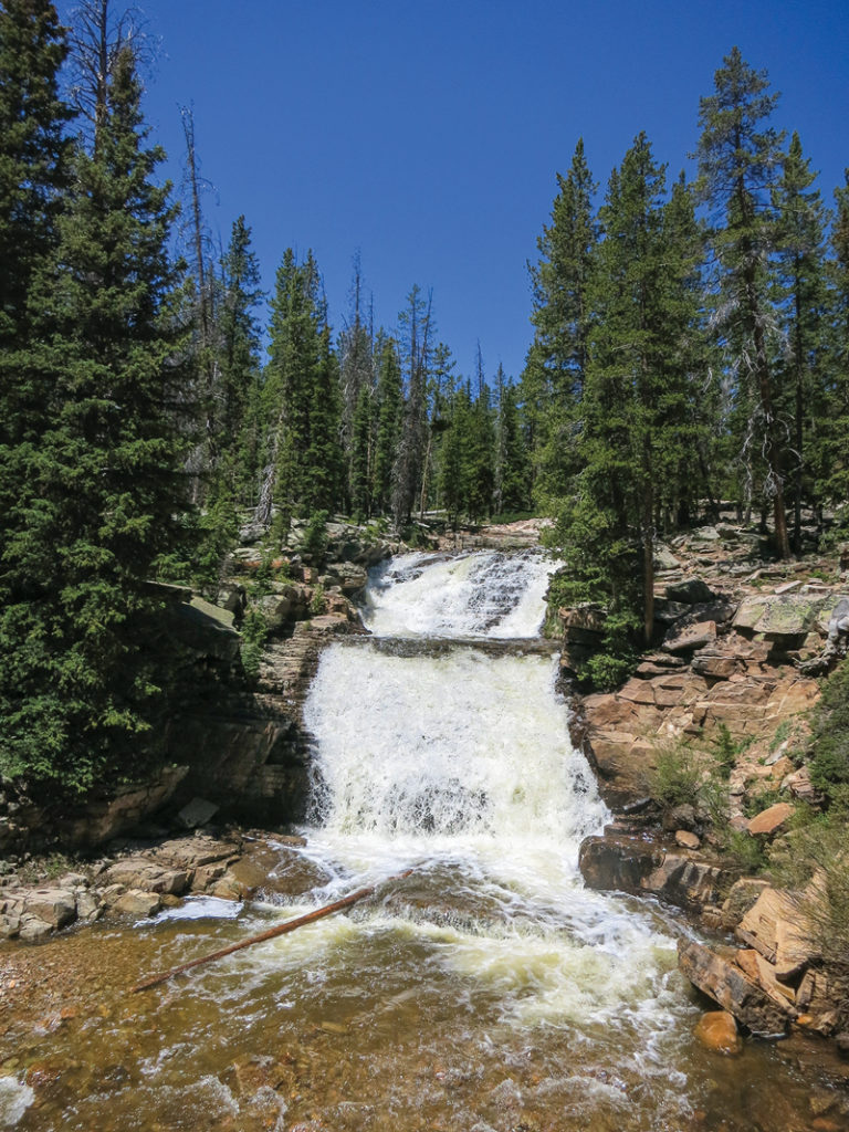
After the falls, the road becomes increasingly twisty and entertaining. There are even a fair number of hairpins to keep things lively. The traffic is a bit heavier than I had experienced on the southern loop, but it is far from frustratingly congested. Much of the traffic that I encounter is made up of other happy motorcyclists.
Deep blue mountain lakes begin to dot the alpine landscape, and each one offers its own unique visual appeal. My first shoreline stop is Teapot Lake, which sits cold and still with a great view of snow-laced Mount Watson over its far shore. Even in late June, the white stuff is in abundant supply on the mountains at this elevation.
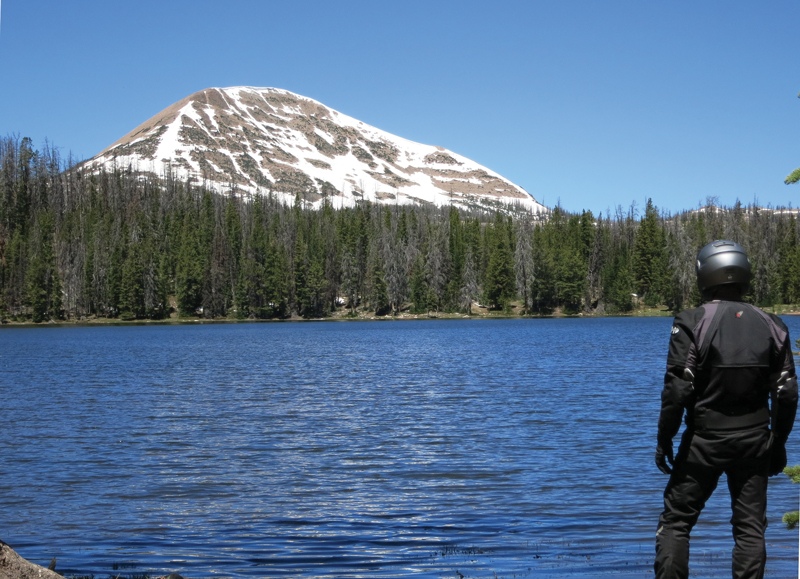
After Teapot, I don’t even get out of second gear before I come upon the more expansive Lost Lake. For the next several miles, bodies of water with names like Moosehorn, Mirror and Butterfly sit just off of the pavement on both sides of the winding road. For me this high-mountain lake region is the highlight of my riding in northern Utah.
The next miles of Route 150 follow more rivers as the road carves through the national forest. The northern ride takes me by a smattering of cabins and lodges. It should be noted that most of this scenic byway is devoid of any services so plan your gas and sustenance needs accordingly.
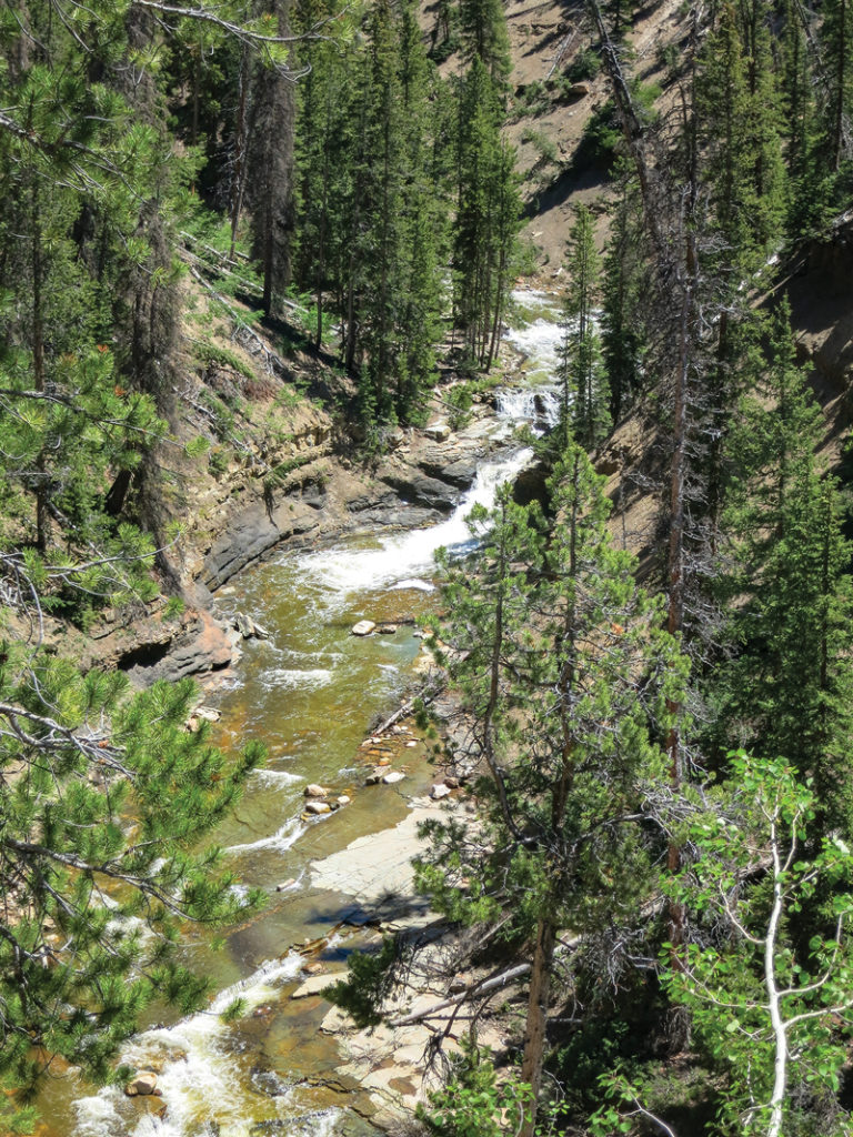
Shortly after a cluster of cabins called the Bear River Lodge, the forest of pine and aspen trees transforms into a high-elevation grassland environment. The road is straighter and the riding landscape is rolling and wide-open. The snowcapped mountains diminish in my rearview mirrors.
At about the 75-mile mark of the ride, I pass into Wyoming. I am riding in what would still be Utah if the state were a true rectangle. It’s as if Wyoming, which became a state six years before Utah, laid claim to that geometric distinction by biting off the ear of Utah. The small handful of miles that I will spend in Wyoming is punctuated with a stop in the town of Evanston. After a quick fuel stop, I look for a place for some lunch. Jody’s Diner, a quaint retro eatery, fills the bill.
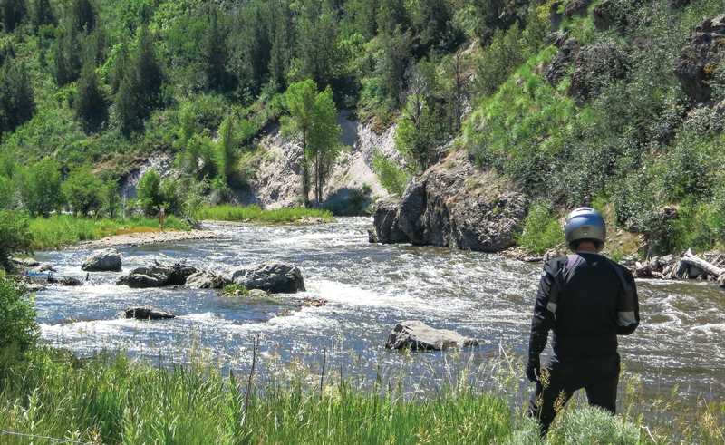
There is more entertaining riding to be had, so I head out of Evanston to the northwest on Wyoming Route 89, which becomes Utah Route 16 as I reenter the Beehive State. It’s when I turn onto State Route 39 (the Ogden River Scenic Byway) that the real entertainment begins. This 50-mile stretch of my ride serves up the longest sustained lineup of curves on the entire loop. The pavement conditions are variable, so I exercise caution on the new-to-me route. At Huntsville, I head south on State Route 167 and finish my return to Park City via Interstates 84 and 80.
In the end, this tour is really a tale of two distinctly different rides. The southern loop is defined by sparse traffic and wide-open spaces that equal a relaxing and view-infused experience. The northern route is an alpine route that ramps up the riding entertainment with winding mountain roads. Needless to say I will be back, map and highlighter in hand, to trace more of what this region has to offer.
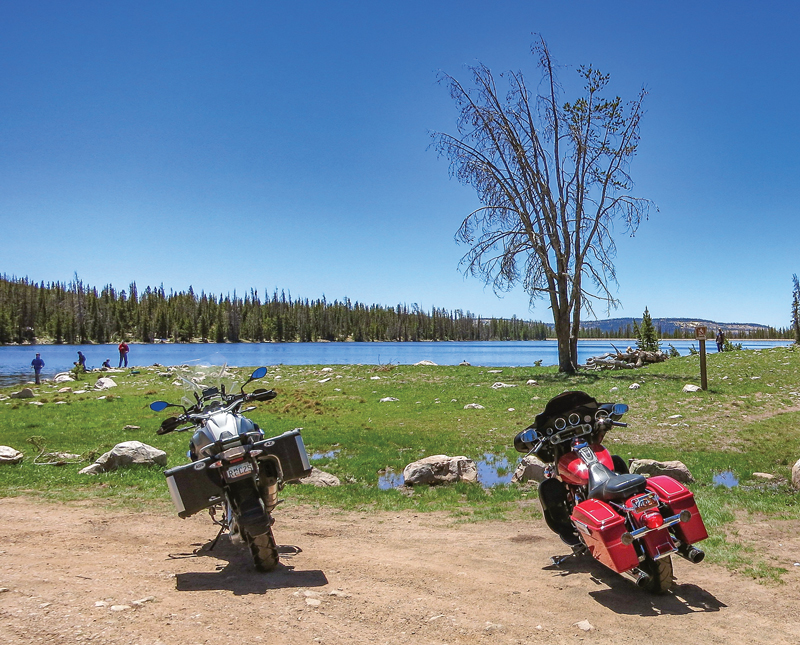
Mirror Lake Scenic Corridor Recreation Area
If you are going to get off your bike and explore the lakes, streams and hiking opportunities in the Mirror Lake Scenic Corridor Recreation Area along Utah Route 150, you will need to stop at one of the self-serve recreation fee stations. A three-day pass carries a $6 fee and it is $12 for a seven-day pass. For more information contact the Heber-Kamas Ranger District at (435) 783-4338.


