

Waterfalls, Gravel, and the Cherohala Skyway
If you asked me what my favorite motorcycle ride is, I’d probably dodge the question. I’d tell you every motorcycle is fun on the right road. That every ride is memorable for a different reason. That there are simply too many incredible places to choose just one.
But if you handed me a set of keys on Friday afternoon and said, “Go ride your favorite route this weekend,” I wouldn’t spend much time thinking about it. I’d point the front wheel toward Tellico Plains, Tennessee.
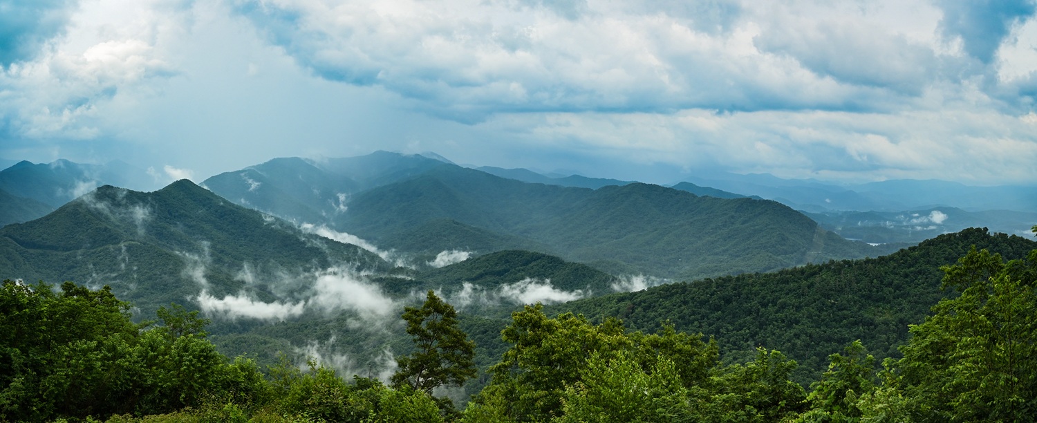
Over the last decade, Tellico Plains has quietly transformed into one of the Southeast’s premier motorcycle destinations. Riders from across the country know it as the western gateway to the Cherohala Skyway, but that’s only part of its appeal. What was once a sleepy mountain town has become a gathering place for adventure riders, sport-touring enthusiasts, cruisers, and dual-sport riders alike. The roads seem to radiate from town in every direction, each one leading to another overlook, another waterfall, another forgotten forest road worth exploring.
Unlike destinations built around a single famous road, Tellico offers enough variety to keep riders busy for days. It’s also become one of my favorite weekend escapes.
At a Glance
Location: Tellico Plains, Tennessee
Distance: Approximately 140 miles
Ride Time: 5-7 hours (including scenic and meal stops)
Best Direction to Ride: Counterclockwise from Tellico Plains
Skill Level: Intermediate (gravel experience recommended)
Best Bike Type: Adventure, dual-sport (if you ride the gravel) sport-touring, touring, sport (if staying on pavement)
When I visit, I usually stay at Cherohala Mountain Trails Campground. Owners Wayne and Kellie have spent more than 15 years welcoming riders with clean cabins, campsites, and the kind of hospitality that keeps people coming back. For around $60 a night, an air-conditioned cabin makes an easy home base after a long day in the saddle, and by evening the campground is filled with riders swapping stories around the campfire while motorcycles cool in the gravel parking lot.
The next morning is when my favorite ride begins.
Leaving town, I avoid the Cherohala Skyway (for now) and instead turn onto River Road, following the Tellico River upstream. The pace slows almost immediately. The river tumbles over smooth boulders beside the pavement while towering hardwoods create a canopy overhead. It’s one of those roads where you naturally back off the throttle because there’s simply too much to look at. Only a few miles from town, Bald River Falls comes crashing into view.
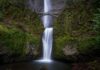
Unlike many waterfalls tucked away behind lengthy hikes, Bald River Falls practically pours onto the roadside. After recent restoration of the bridge crossing the falls, it’s easier than ever to stop, wander around with a camera, and appreciate the power of the water as it falls nearly 100 feet into the river below. It’s one of the Southeast’s most photogenic roadside waterfalls and a mandatory stop every single time I ride through.
A few miles farther sits Baby Falls, another favorite. During the heat of summer, I like to cool off in the swimming holes nearby. Even if you don’t plan on getting wet, the cool mist and sound of rushing water make it difficult to leave.
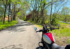
Eventually the pavement ends. North River Road turns to gravel, and suddenly the ride takes on a different personality. For roughly 20 miles, the road winds through the Cherokee and Nantahala national forests toward North Carolina. The gravel is generally well maintained and suitable for larger adventure motorcycles and even cautious street-oriented ADV bikes in dry conditions. Small streams cross beneath weathered bridges. Primitive campsites appear beside crystal-clear creeks. Rhododendron tunnels close in around the road, making it feel wonderfully remote despite being only an hour from town.
Crossing into North Carolina, Forest Road 81 greets me with a sign warning that the road isn’t suitable for passenger cars.
It’s probably right. A low-slung sedan would have a rough day here, but an adventure bike feels perfectly at home. The road twists steadily through Joyce Kilmer Memorial Forest, one of the last remaining old-growth hardwood forests east of the Mississippi. Some of the towering tulip poplars have stood here for more than 400 years, long before motorcycles – or even America – existed.
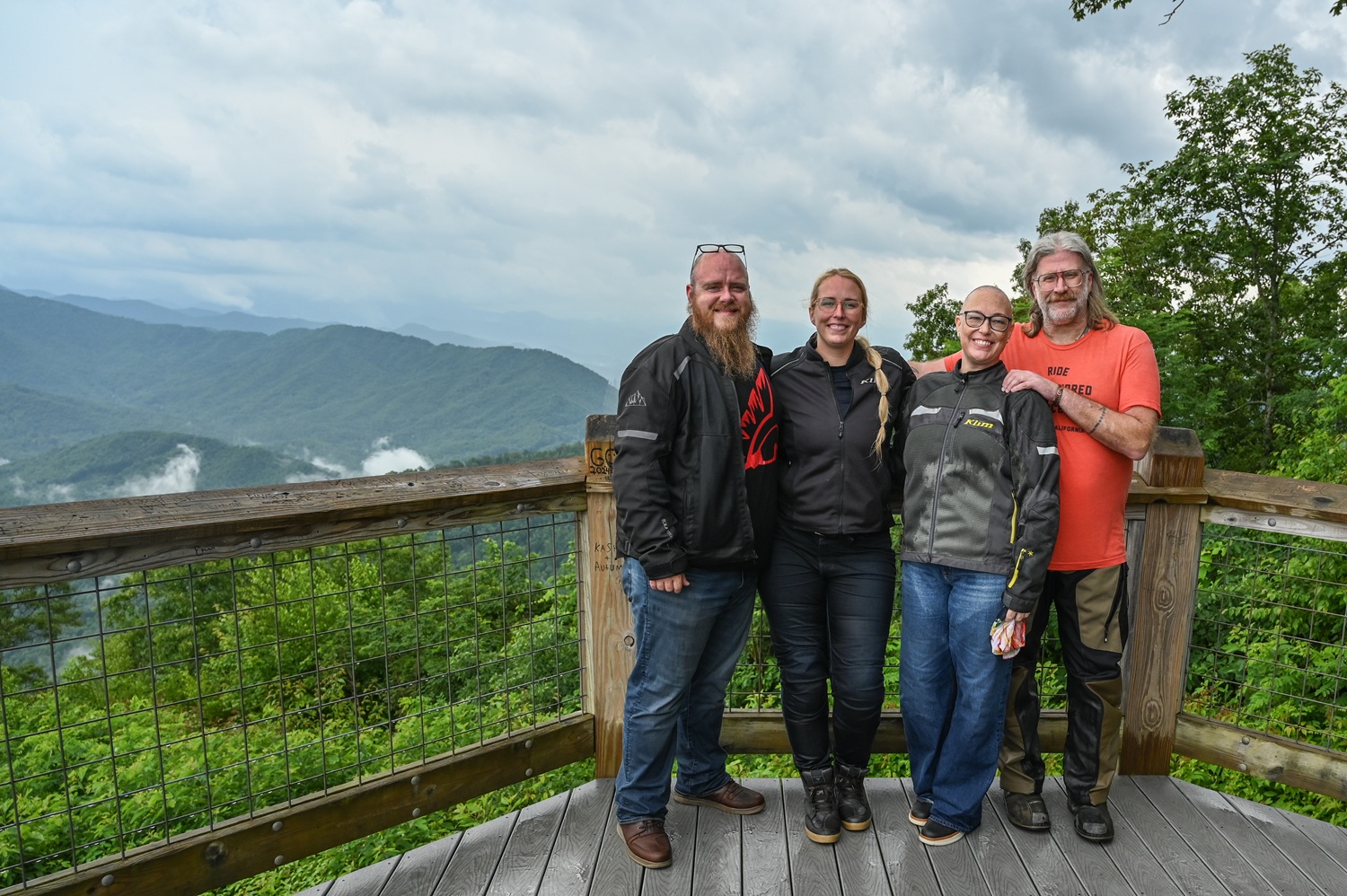
One worthwhile detour climbs the rough pavement toward Maple Springs Observation Deck, easily one of my favorite overlooks anywhere in the Appalachians. Unlike some of the region’s better-known viewpoints, Maple Springs feels surprisingly peaceful. Layers of blue-green mountains stretch toward the horizon with very little evidence of civilization. Bring a snack, drink some water, and give yourself permission to linger. The view deserves more than a quick photo.
From there, it’s only a short ride to Deals Gap Motorcycle Resort. Even if you aren’t planning to tackle the Tail of the Dragon, it’s worth stopping for fuel, a restroom break, or simply watching the parade of motorcycles arriving from every direction. First-time visitors should absolutely experience U.S. 129 at least once and pick up the obligatory Dragon sticker afterward. If it’s a busy weekend, though, I usually skip it. I’ve learned that some of the best riding in this region happens away from the crowds.
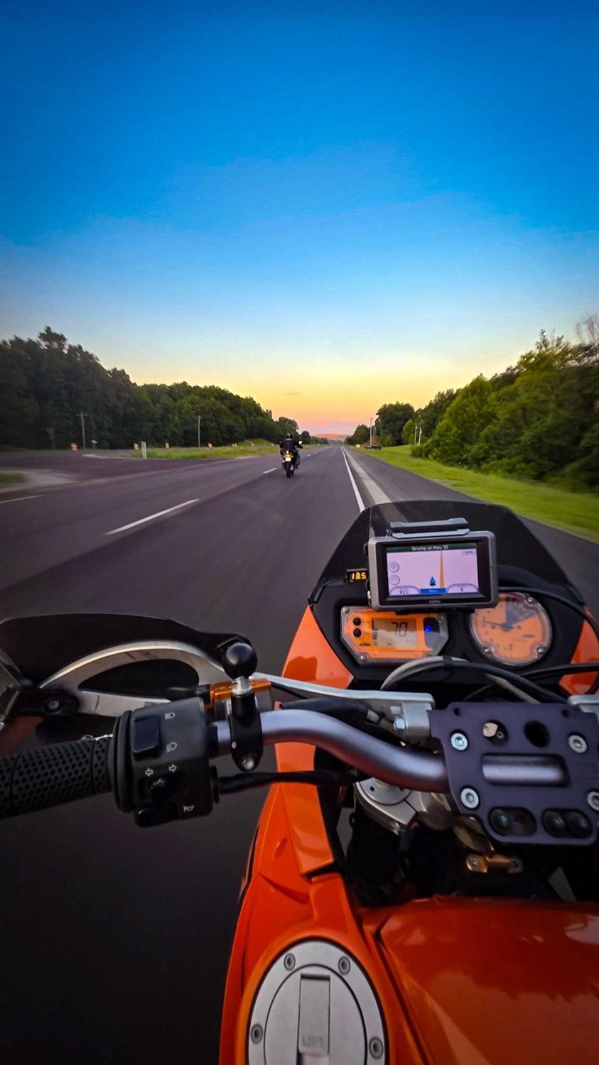
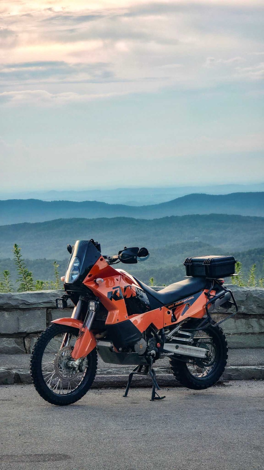
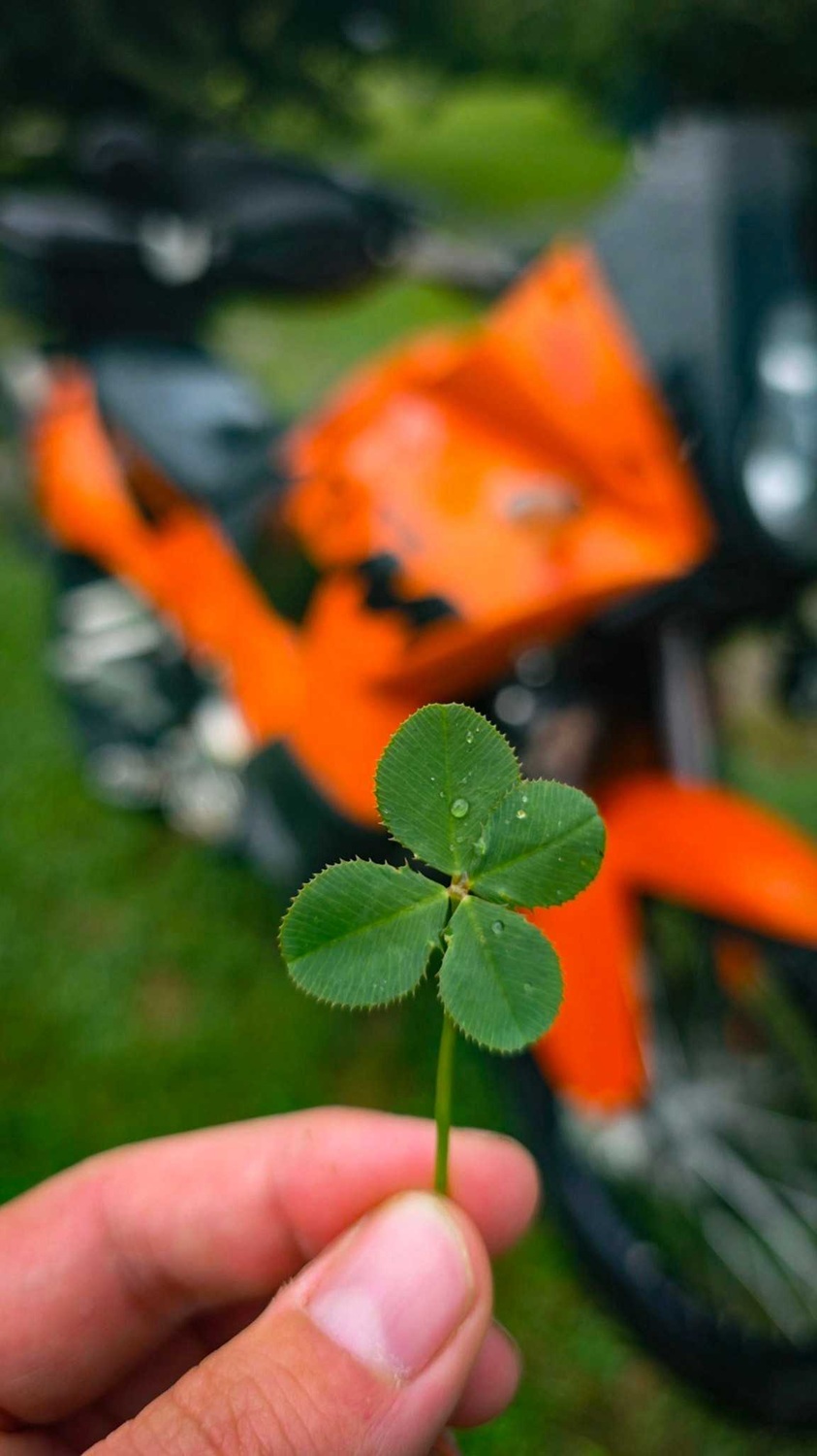
Instead, I head south on North Carolina State Route 28 before cutting across Yellow Creek. It’s a quieter route that reconnects with Joyce Kilmer while avoiding much of the congestion around Deals Gap. Eventually, every curve points back toward one road: the Cherohala Skyway.
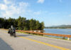
No matter how many times I ride it, the Cherohala never feels ordinary. The road climbs effortlessly above 5,000 feet, weaving across mountain ridges with long sweepers that seem purpose-built for motorcycles. One overlook after another invites you to stop, each offering another panorama of endless Appalachian ridgelines fading into blue haze.
I’ve ridden across the Skyway beneath brilliant blue skies, and I’ve ridden it through dense fog where visibility shrank to only a few hundred feet. I’ve crossed it wearing mesh gear while temperatures hovered near 90 degrees in Tellico, only to reach the summit in cold rain wondering why I didn’t pack another layer. On this ride it happened again. The bottom fell out of the clouds, and we were instantly soaked through our mesh gear. My rain jacket was left back at camp, of course, so I was stuck paying for my mistake. However, the frigid rain felt refreshing considering most of the country was in the middle of a July heat wave.
By the time the road descended back into Tellico Plains, I was mostly dry again and had worked up an appetite. There’s only one place I want to end the day, and that’s Tellico Grains Bakery. Walking through the front door, I was greeted by the unmistakable smell of fresh bread baking in a wood-fired oven. Riders fill the tables inside and out while locals stop in for coffee and pastries. Everything on the menu is excellent, but my favorite remains the wood-fired pizza topped with Benton County bacon – a smoky Tennessee staple that tastes even better after a full day on the motorcycle.
The ride itself covers roughly 140 miles, blending pristine pavement with easy gravel roads, waterfalls, mountain overlooks, old-growth forests, and some of the best scenery the southern Appalachians have to offer.
It isn’t the fastest, most technical, or even the most famous route I’ve ever ridden. But when I think about the kind of ride that leaves me completely satisfied – one that combines great roads, incredible scenery, a little adventure, and an unforgettable meal at the end of the day – this loop out of Tellico Plains is the one that always comes to mind. It’s as close to the perfect motorcycle ride as I’ve ever found, and it’s without a doubt one of my favorite rides.
See all of Rider‘s Favorite Ride stories here.
Travel Resources
Maps & Routes
Click to view the route on REVER
Click here to download the GPS files
Road Conditions
This loop combines smooth mountain pavement with approximately 20 miles of well-maintained gravel through the Cherokee and Nantahala national forests. Riders will enjoy everything from flowing sweepers on the Cherohala Skyway to narrow riverside roads and forest-service gravel with moderate elevation changes. Expect occasional loose gravel, potholes, washouts after heavy rain, and wildlife throughout the route. Traffic is generally light except near Deals Gap on weekends, where motorcycles, sports cars, and law enforcement are more common.
When to Travel
Spring through fall offers the best riding, with April through early June bringing wildflowers and rushing waterfalls, while October delivers spectacular fall color. Summer temperatures in Tellico Plains can climb into the 90s, but the Cherohala Skyway is often 15 to 20 degrees cooler at elevations above 5,000 feet. Afternoon thunderstorms develop frequently during summer, and fog can appear quickly along the Skyway. Cell service is spotty throughout the national forests, so download maps before leaving town. Pack rain gear and an extra layer, even on warm days.
Road Food
No ride through Tellico Plains is complete without a stop at Tellico Grains Bakery. Housed in a restored downtown building, the bakery is known for artisan breads, pastries, sandwiches, and outstanding wood-fired pizzas. For breakfast before the ride, Tellicafe serves hearty Southern classics, while the Tellico Beach Drive-In is a longtime local institution for burgers, barbecue, and milkshakes after a day in the saddle. In recent years, more restaurants have become available throughout Tellico.
Where to Stay
Tellico Plains makes an ideal motorcycle base camp, with several rider-friendly lodging options. Cherohala Mountain Trails Campground offers cabins, campsites, and RV hookups just minutes from town and has become a favorite gathering place for motorcyclists exploring the region. Lodge at Tellico provides modern, comfortable accommodations closer to restaurants and shops, making it an excellent choice for those who prefer to stay in town. For a more rustic experience, many campgrounds nearby offer peaceful sites surrounded by the beauty of the Cherokee National Forest.
Points of Interest
- Bald River Falls
- Baby Falls
- Tellico River
- North River Road
- Cherokee National Forest
- Joyce Kilmer Memorial Forest
- Maple Springs Observation Deck
- Cherohala Skyway scenic overlooks
- Deals Gap Motorcycle Resort
- Tail of the Dragon
- Tellico Grains Bakery
- Cherohala Mountain Trails Campground
If You Have More Time
One of the biggest advantages of using Tellico Plains as a base camp is that the riding never has to end. Spend another day exploring the Tail of the Dragon, Moonshiner 28, the Foothills Parkway, or U.S. 129 along Chilhowee Lake. Adventure riders can venture deeper into the Cherokee National Forest via Witt Road, Smith Mountain Road, and numerous forest-service routes that branch off North River Road. If you’re looking for more pavement, Blue Ridge Parkway and Great Smoky Mountains National Park are both within a day’s ride, making it easy to turn a weekend getaway into a week-long Appalachian motorcycle adventure.
More Information
- Cherokee National Forest
- Nantahala National Forest
- Cherohala Skyway Visitor Center
- Cherohala Mountain Trails Campground