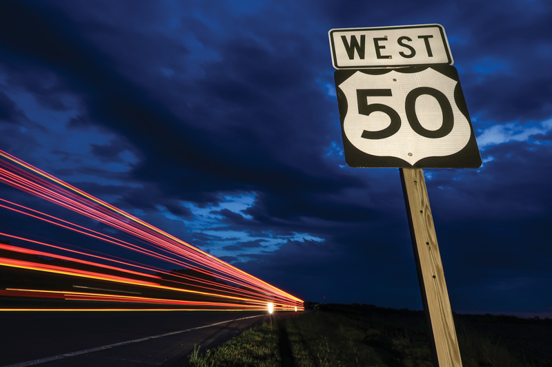
Vice President Joe Biden would not be happy. He might also be surprised to learn that after two decades it turns out I’m something of a liar. This goes way back to when I had my Honda 750. For years I’d shared with many that together my old bike and I had hit all of the Lower 48, but it’s not so. Over this past winter, staring out at me from my U.S. map was one glaring omission. Somehow, I’d missed Joe’s Delaware. That, I would need to rectify. But first, a more ambitious ride; I was heading west!
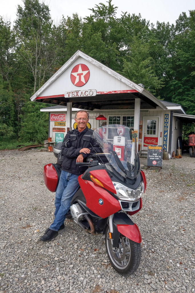
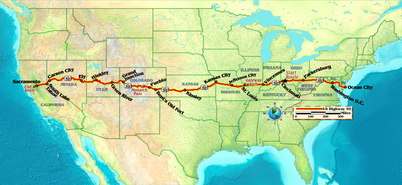
For no good reason I decided to follow a single route, something I’d never done. I wanted this ride to be different, on something that wasn’t a freeway, at least most of the way. I’d picked U.S. Route 50, my trip beginning in Cincinnati and ending in West Sacramento, riding there over the highway’s final mile.
What I learned on my weeklong trip to California’s capital is that this highway works. Other than a few locations with highway reconstruction the road is a pleasant one. Being a national highway it receives ample funding to keep it decent. Its surface varies from state to state, the size of its berms going from usable to nonexistent, its pavement from new to it’ll get you there.
Over the miles I would experience the quirky and the quintessential, the theatrical and grand to the sublime and ridiculous, fun stuff, things someone my age has grown to appreciate. But this was first and foremost a ride.
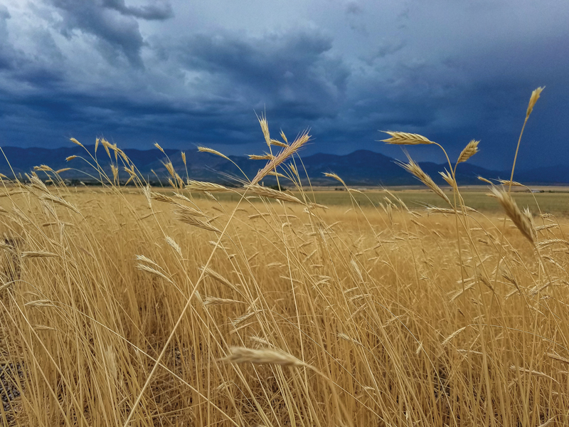
In the first 500 miles the highway rarely gives away your location, so similar is what surrounds you. On one stretch, without warning, I encountered loose gravel, or so it initially appeared. But on closer inspection the gravel was yellow. What I rode through for miles was a thin coating of corn kernels. That was so cool! What could be more middle America?
In some ways U.S. 50 is an anonymous highway, lacking in history or a catchy name. Ohio can be Indiana, which can be Illinois, which can be Missouri. U.S. Route 40 was always the “National Road” and Route 66 the “Mother Road.” But U.S. 50 is not without its moment in the sun. Back in the 1990s, “Time” magazine devoted nearly an entire issue to this highway, calling it “The Backbone of America.”
Beyond its few marquee cities you’ll find a plethora of anonymous little towns. In truth, like every other highway, U.S. 50 belongs to those who live along its edge stripes or its tributaries. It’s how they get to work, go for groceries or go to church, or on weekends head for the big city.

The view as you ride west from Ohio follows sweeping turns and places where there’s often a flora canopy, trees overhead creating a wonderful, cooler tunnel. It has an airy, timeless quality. Being primarily rural it calls for an awareness of what might be. Trucks making their rounds slow things down. A recalcitrant farmer, moving along in his pickup truck 15 mph under the speed limit makes his choice yours. Hit the wrong stretch and a line of cars, or more commonly pickup trucks, can back up traffic for quite some distance, waiting for a truck hauling Johnny On the Spot port-a-potties or a farmer on his crawling tractor to reach his destination. It is, after all, their road!
Crossing the Mississippi River anywhere never disappoints, but the stunning Gateway Arch in St. Louis welcomes you to the concept of heading west. On the Big Muddy’s western slope you’ll find vineyards as you roll through Missouri’s eastern hill country. Jefferson City follows, with traffic needing to manage a stoplight or two before heading off for the level landscape of Kansas. There the rules change. Kansas is an entity all its own, different from everything. Its straight-arrow highways stretch forever, much like those in Montana or Texas. But in Kansas, all of them are flat, lacking dimension. Somewhere well into the state you’ll hit Kinsley, once the geographical center of U.S. 50.
Eighty or so years ago U.S. 50 ended in Oakland, California, before the Oakland Bay Bridge was built. With its construction the highway was rerouted so that it and U.S. 40 both ended at a U.S. Route 101 stop sign in San Francisco. Today U.S. 50 ends in West Sacramento, in essence chopping off what was once my highway’s beautiful tail. While there I went looking for a U.S. 50 sign of any type. All that I could find were continued references to “Historical U.S. 40,” that highway’s final miles also lost to history.
Decades ago there was a free campground in Kinsley, noting the U.S. 50 midway point. But like that long-gone free campground much that you find on U.S. 50 has changed. There’s a difference, and it’s readily apparent along this highway’s entire footprint—it’s simply easier to spot in Kansas’ wide-open spaces. There are empty buildings, sometimes many, where once vibrant towns are fading, limping along, their souls disappearing.
The straight and narrow of Kansas’ U.S. 50 dips and swings in its final miles before Colorado. There, Bent’s New Fort and Bent’s Old Fort welcome you. On a different trip, one with my wife, I might stop for a visit. But on this trip I wasn’t a tourist, I was a traveler, the highway my destination. On I rode.
There were long stretches when I had the highway to myself. Rarely would I encounter traffic, but on my trip there was rain and there was heat. Before reaching Monarch Pass I’d been rained on often, and after as well. But there, racing up the mountain’s graceful turns I rode alone on a truly wonderful highway.
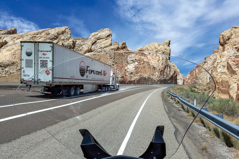
In July the Southwest welcomes what it calls the seasonal monsoons. I’d hit them many times over the years, generally putting up with a shower here or there, never the downpours I experienced on this trip. Near Hinckley, Utah, the rain hit with one unannounced blast, a crosswind nearly throwing me off the highway. When there was no rain my thermometer claimed it was more than 100 degrees, but with the rain it plummeted to as low as 55! There the crosswind blew unabated, raindrops funneled into the unzipped vents on my riding jacket. I could feel the water running down my arms and chest. It was wonderful.
There would be no rain in Nevada, only the stretch of U.S. 50 that has made a name for itself, “The Loneliest Road in America.” But if you take the time to look around and to observe there is so much to see. The muted colors of everything that surrounds you are beautiful. For mile after mesmerizing mile, it was always the same, U.S. 50 always changing. Somehow, even on the days when there were clouds in abundance, rarely did I feel their soft white hand over me, giving me cover.
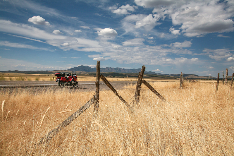
U.S. 50 crosses 17 mountain passes in Nevada’s almost 410 miles. Over and over, in the daily haze the miles of highway in front of you disappear into the far away horizon. But there was something new over the divide between Nevada and California—green! Beyond busy South Lake Tahoe, California’s first hour was a beautiful twisting ride through conifers on the type of road every rider cherishes.
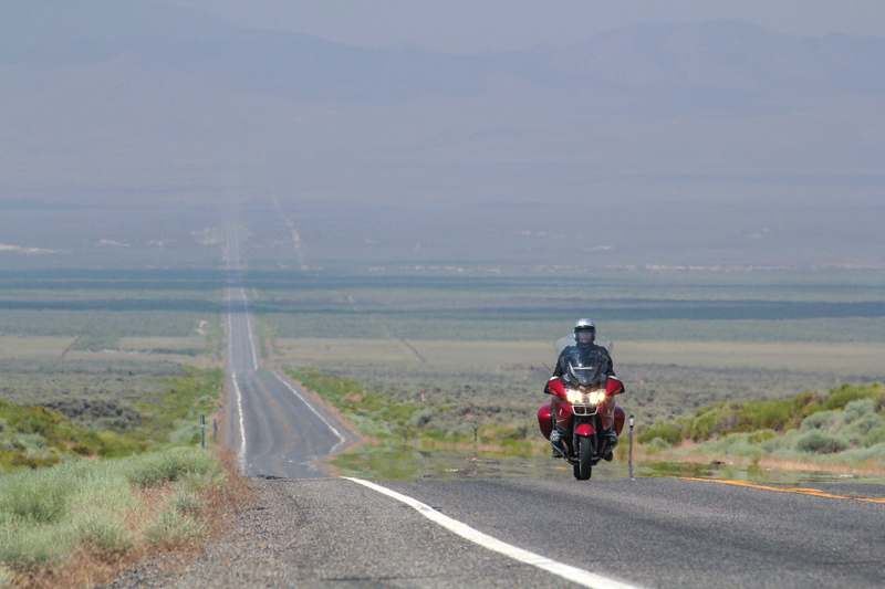
Enter California from almost anywhere and the ride immediately becomes downhill. The elevation from Lake Tahoe to Sacramento, a distance of just over 100 miles, drops more than 6,000 feet. That’s downhill! After the heat of the previous thousand miles you feel transformed.
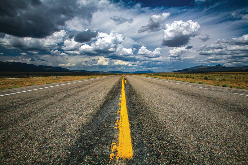
But the reality of California will soon smack you in the mouth. Eventually the fun two-lane highway becomes four. Then it becomes five and soon six lanes in each direction. Interstate 80 joins and speeds off toward San Francisco. My U.S. 50 simply disappeared. Not even a sign—nothing, it was gone.
Back in Fallon, not far from the California border I’d stopped for gas. A fellow at the next pump asked if I’d ridden all the way from Ohio. When I said yes, he asked what roads I’d taken. When I replied, “Fifty, all the way,” he responded in a somewhat condescending manner, “Well, that must have been intentional.” That’s what U.S. 50 is, the Rodney Dangerfield of highways, one that gets no respect.
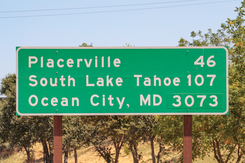
There is, however, an eastbound sign near where I-80 overwhelms everything, with an interesting story. Somewhere, far away in Ocean City, Maryland, where U.S. 50 begins is another sign. It states: “Sacramento Ca 3073.” As the story goes, the head of California’s highway maintenance was visiting Ocean City and saw the sign. He thought it was a pretty good idea, and unilaterally made the decision to put up a reciprocal sign at his end: “Ocean City, MD 3073.”
And there it was. Now I need to see the one on the other side of the continent. That will be my next journey, and in doing so I’ll slip off U.S. 50 a few miles and visit Delaware. Mr. Biden would probably like that.


In 1977 I drove my car from San Rafarl, Ca to Cherry Hill, NJ in 4.5 days via I-80 to Sacramento, and then highway US-50 to around Washington, DC then up I-90 to The South New Jersey/Philly PA area.
Two years ago I rode 50 from Crescent Junction, UT ( just north of Moab) to Pueblo, CO before turning south on my way back home to Texas. Thoroughly enjoyed it, and not just the winding parts (Monarch to Canon City, for example). As the author says, if you keep your eyes open there’s always something to see. A great story, exactly the kind that I look forward to reading in Rider!
I rode the entire route from coast to coast in 2017 –
http://www.unclephil.us/Highway502017Home.htm
If you miss Thistle, you miss a very important part of Highway 50 history!
Road up from Death Valley to RT 50 then across Utah to Salt Lake City. What great road. This year taking it from West Virginia to DC. Can’t waiy
Great writing. I was born in a small Colorado town on Hwy 50. I live in a larger Colorado town, also on Hwy 50. I travel often up and down Hwy 50 and it is always changing and interesting. What a very nice reminder. Thanks
I’m preparing for a ride to Montrose Colorado via the 50 from Sacramento and the author is correct, the 50 ends in West Sacramento. For years I’ve wondered what the ride must be like going past Tahoe, I can’t wait for the trip. Thank you for the article friend!
In 2011
I rode my 2009 Harley-Davidson fat boy from Pittsfield ma to eureka
Ca took 50 from the start in Maryland
To just short of Sacramento then headed north to eureka
By myself
Rt 50’was a bit scary
Yes beautiful but can be deadly
Face book thestronginspirit motorcycle ride
That tells the story of my trip
I am a lifelong Marylander and knew about the sign in OC (Ocean City affectionately to us Marylanders!) mileage to Sacramento. On a business trip with my husband to Sacramento, I saw the other sign with Ocean City and quick and took a picture of it with my phone. Very interesting story about the sign….something that this girl didn’t know! Looking forward to making some of these road trips soon! 🙂