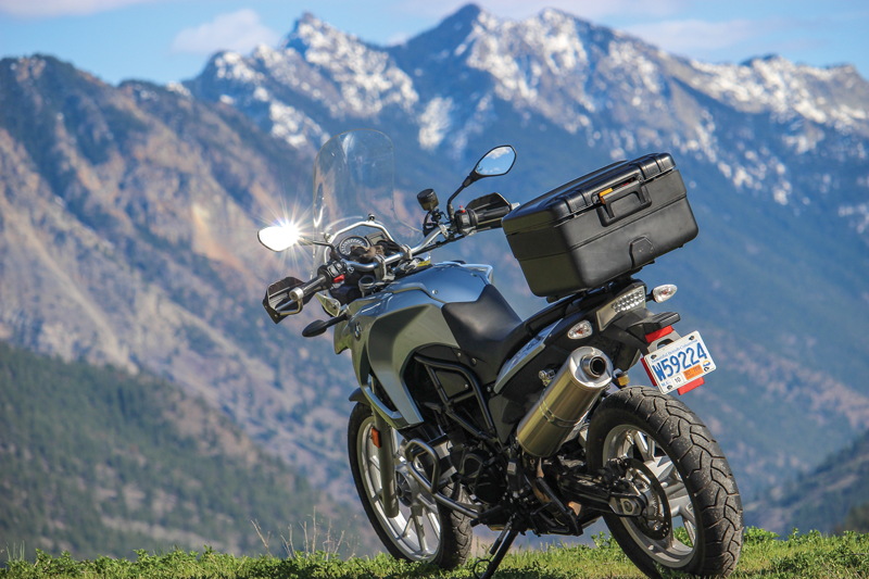
If I could only make one ride in British Columbia, the Duffey Lake loop would be it. No other route boasts such diversity: a fjord walled by granite mountains, temperate rainforests and flowing glaciers, merging into a dry, semi-arid landscape of sagebrush and ponderosa pine, all on the doorstep of one of the world’s most beautiful cities, Vancouver. I am not getting paid nearly enough to tell you about this gem, but journalists are their own worst enemies when it comes to holding back on a good thing.
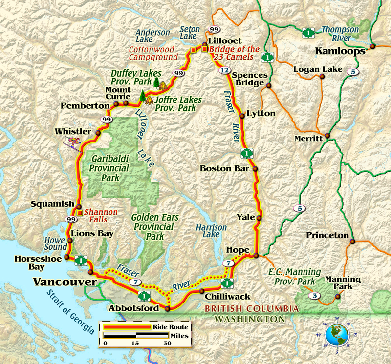
Duffey Lake refers to the landmark close to midpoint on a loop tour that can be completed in about 10 hours at a steady pace, but is best done over two to three days, stopping to enjoy the scenery and locals, visit a winery and perhaps camp under a clear canopy of stars. The journey begins just northwest of Vancouver on Highway 99 – the Sea to Sky Highway – at postcard-perfect Horseshoe Bay, and continues northward alongside the sparkling fjord of Howe Sound lined by the Coast Mountains.
The highway was significantly upgraded for the 2010 Winter Olympics, and allows motorcyclists to zip along at a comfortable clip, watchful for police radar at the village of Lions Bay. Along the way, consider stopping to gawk at Shannon Falls, hopping on the Sea To Sky Gondola with its spectacular views or watching mountain climbers on the sheer granite walls of the famous Stawamus Chief.
Just ahead is the former logging town of Squamish, now a mecca for outdoor recreation, including kiteboarding at Squamish Spit. Café racers tend to gather at Starbucks, and cruisers at Howe Sound Brewing or Backcountry Brewing, the latter known for its amazing thin-crust pizza.
Road signs warn of black bears as you continue northward to North America’s top-rated ski resort, Whistler. This perfect little village makes for a great first night’s stay, with strolls through shops in the shadow of towering snow-topped peaks, but don’t expect heavy discounts in summer.
From Whistler, Highway 99 heads to the potato-growing Pemberton Valley, and your last chance for gas for about 60 miles as you proceed eastward through the aboriginal community of Lil’wat at Mount Currie. If you arrive in May you can even catch the community’s annual rodeo.
As you pass Lillooet Lake, the two-lane highway begins a steep, switchback ascent into high-elevation wilderness without a hint of commercialism. The road plateaus shortly after Joffre Lakes Provincial Park, a great spot for hikes to a series of lakes, backdropped by Matier Glacier. Don’t let the alpine vistas distract you from the job ahead: lots of twists and turns, with little in the way of shoulders and the potential for patches of loose gravel.
Duffey Lake is a jewel, and makes for a good photo stop at an elevation of about 4,000 feet. It can get cold here even on summer days so be prepared for changing conditions. Continuing eastward, alongside fast-flowing Cayoosh Creek you’ll find several rustic campgrounds, the best of which is Cottonwood, which offers well-tended outhouses, chopped firewood and an on-site caretaker.
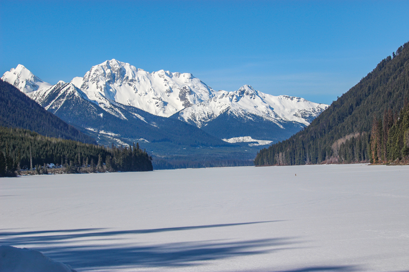
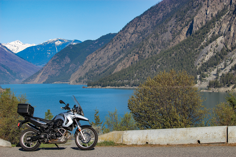
You’ll notice some big changes continuing eastward: evergreen forests replaced by ponderosa pines, sagebrush and craggy rock bluffs, the weather becoming warmer and drier. Expect a stunning view of turquoise Seton Lake – and perhaps some mountain goats on the high cliffs – as you wind steeply downhill to Lillooet, an historic gold-rush town on the banks of British Columbia’s greatest river, the Fraser.
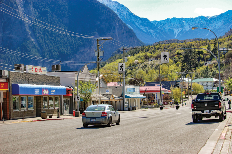
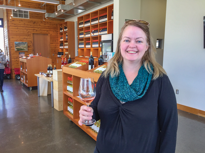
If you’re staying overnight, pick the newer rooms at the affordable 4 Pines Motel, just a block off Main Street. Try some wine tasting at Fort Berens Estate Winery across the river via the Bridge of the 23 Camels, a reference to some bizarre pack animals imported from Asia during the Cariboo Gold Rush of 1858. The Rugged Bean Café is your best bet in town for a soup-and-sandwich lunch.
You’ve now accomplished half of the Duffey Lake loop, and have three choices for the ride back to Vancouver. Street riders take Highway 12 along the east side of the Fraser Canyon to the Canadian hot spot of Lytton, watching carefully for hairpin turns and a landslide area where the highway is reduced to one lane.
One false move here and it’s a one-way trip down a steep embankment. At Lytton, take Highway 1 south to Vancouver, or divert to Highway 7 at Hope for a quieter alternative to the bustling freeway. Street riders might also consider doing the loop counterclockwise to avoid having the setting sun in their eyes for the last few hours.
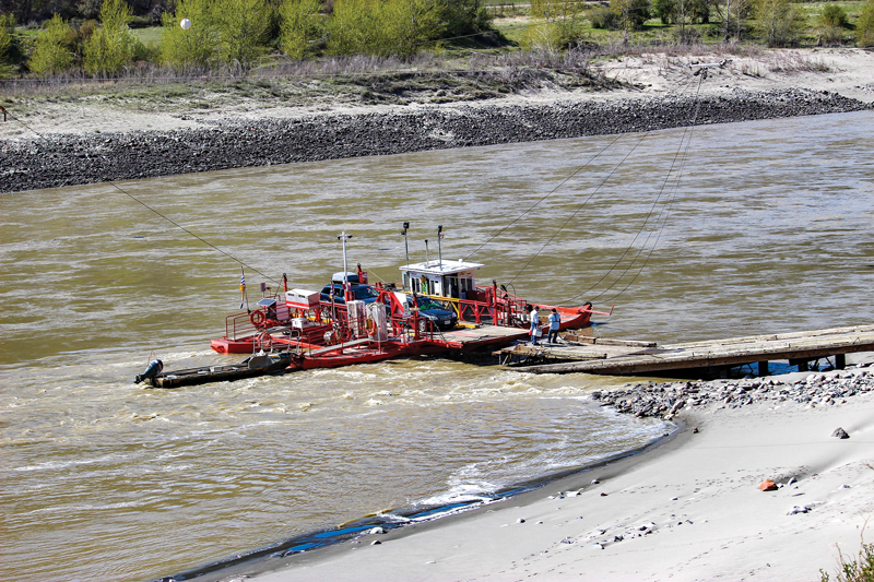
Dual-sport bikes have a couple of gravel options at Lillooet. One is Texas Creek Road, on the west side of the Fraser Canyon, which passes through remote First Nation reserves perched on elevated benches of farmland that once formed the river bottom. Access Lytton via a fascinating, free “reaction ferry” that employs the power of the river to cross from one side to the other. Note that the service can be suspended during high waters of the spring freshet.
The second option for dual-sports is to head north from Lillooet via Bridge River Road, stopping in summer to watch the ancient scene of aboriginals catching migrating salmon to be hung from wooden drying racks. The gravel road boasts rugged scenery as it continues to Carpenter Lake, Bralorne and Gold Bridge before dropping down into the Pemberton Valley for the ride home on the Sea to Sky Highway.
Whichever route you choose, you won’t be disappointed. The diversity and isolation so close to a North American metropolis makes the Duffey Lake loop an unbeatable riding experience.


That water body is Seton Lake at Lillooet; not Howe Sound.
True.
The bridge river route is absolutely amazing.
My wife and i take our bikes on this run at least once every couple of weeks (mid week is best- less RVs), it never gets old. Once in Lilooet you have other options, if you have some time for an overnighter the ride up to Sun Peaks resort is great, pass through Marble canyon and its twin lakes (nice picnic area). for newcomers there are very sharp corners and plenty of loose gravel and always bears, bighorn sheep and deer crossing with little notice. If you travel from Hope, the sea to sky in the afternoon, along with the traffic in North Vancouver can be brutal- we always leave early, hit the sea to sky by 7am and get to hope late afternoon, just a great ride!
This article would have been a lot more helpful if it had total distance and time. Luckily Google Maps tells us that info these days.