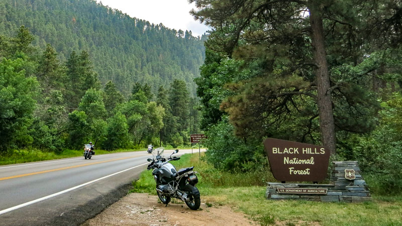
“I hear the voice of the mystic mountains/Callin’ me back home/So take me back to the Black Hills” -Doris Day
Doris Day is one of a multitude of artists who have crooned about the storied South Dakota mountain range. Songs of lush beauty, colorful characters and a rich, often infamous history fill the lyrical canon the hills have inspired. For those of us who grip handlebars rather than microphones, the Black Hills can be equally inspirational. Rising majestically from the Great Plains, the Black Hills of South Dakota are laced with hundreds of miles of serpentine tarmac. Tantalizing roads run through the area’s canyons and forests like the marbling on a quality steak.
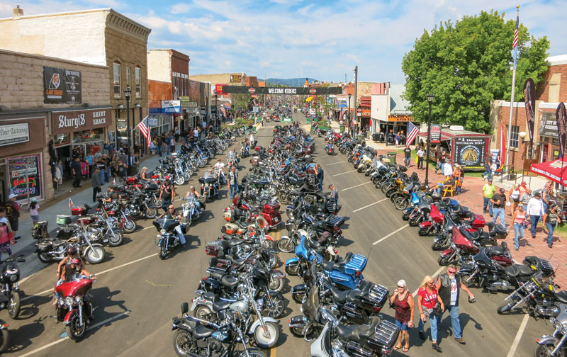
The Black Hills have drawn millions of motorcyclists to southwestern South Dakota for the better part of a century. The lion’s share of that attraction has been the town of Sturgis, which has hosted a rather famous rally since the Jackpine Gypsies Motorcycle Club organized an intimate gathering of racers and spectators in the 1930s.
While never a real rally guy, I knew that I should make one trek to the Sturgis Rally as part of my lifetime motorcycling resume. However, knowing that the hundreds of thousands of bikers who would be attracted to Sturgis over the 10 days of the rally would slow my exploration of the area to an annoying crawl, I decide to arrive days before the heavy influx.
As the vendors set up shop in Sturgis, and law enforcement agencies put finishing touches on their public safety strategies, I will set out on my BMW GS into the Black Hills.
Deadwood and Spearfish
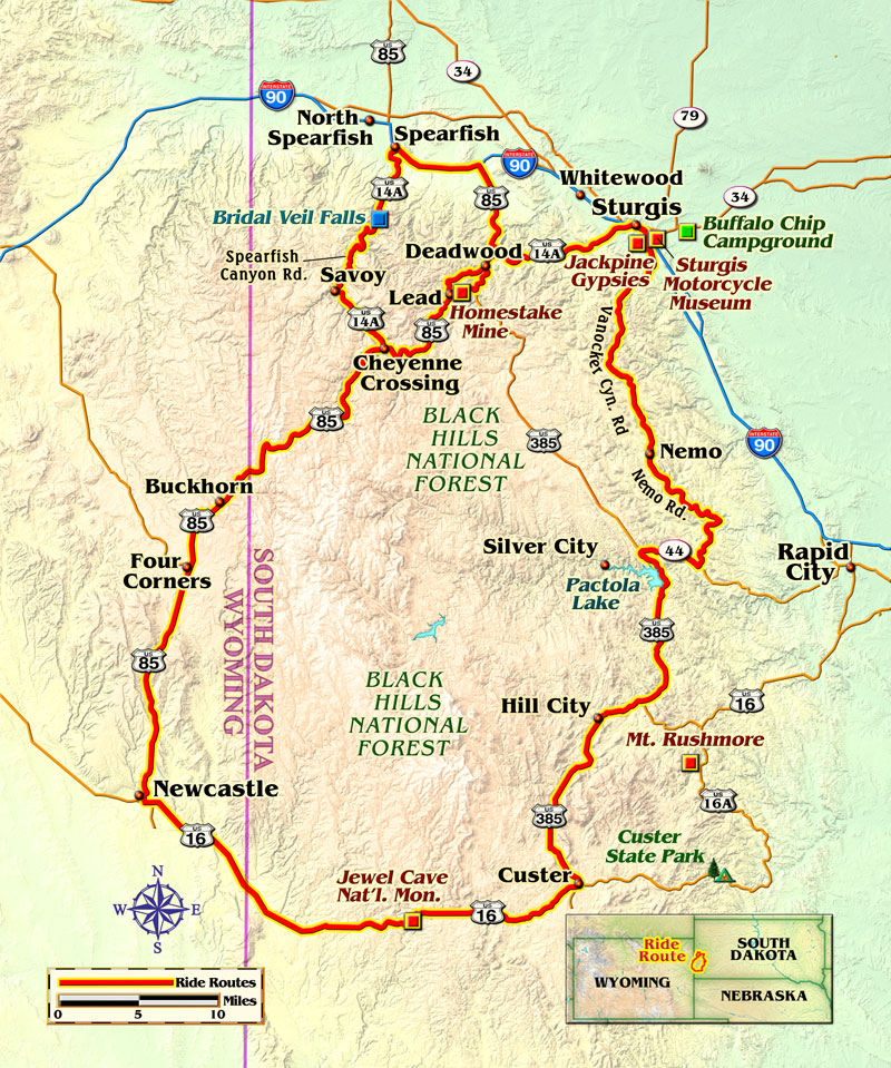
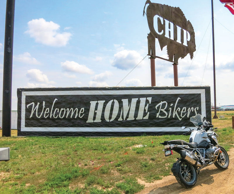
I spend my first morning setting up camp in a remote corner of the massive Buffalo Chip Campground a few miles outside of Sturgis. After a quick sandwich, I ride through the property and the smattering of other early-bird arrivals. My afternoon ride will be a “get acquainted” exploration of two of the area’s iconic attractions.
I ride out of Sturgis toward the west into the Black Hills on U.S. Route 14A. The climb is a relaxed, rolling warm-up of long sweeping corners cutting through an increase of forest foliage throughout the 1,000-foot climb to Deadwood.
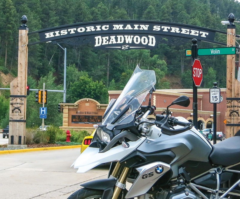
Deadwood is a pristinely preserved 19th century mining town that sprung up as part of the Black Hills Gold Rush. The town’s history is replete with lawlessness of virtually every variety. Gunfights, theft, gang violence and ladies of the night were common, and frontier characters Calamity Jane and Wild Bill Hickok are famously linked to the town. Now, tourists roam the town in search of a bounty of trinkets and the next casino jackpot.
I take time to walk the cobblestone streets of Deadwood before making the short loop ride to the southwest through the town of Lead. Lead was a company town started by the Homestake Mining Company and is home to the largest and deepest gold mine in North America. The mine closed in 2002.
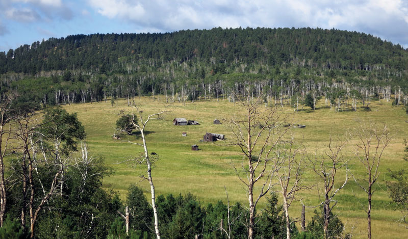
After Deadwood, U.S. 14A melds with U.S. Route 85 as it carves deeper into the Black Hills. The road is skirted by rock escarpments and mountain streams. It becomes increasingly clear to me that the Black Hills are anything but black. Vibrant greens, multi-hued cliffs and blue-green waters paint the region.
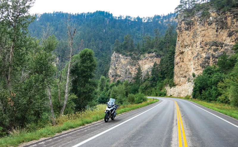
When U.S. 85 branches off to the southwest, I remain on U.S. 14A toward the famed Spearfish Canyon. Its well-paved road winds alongside the cool waters of Spearfish Creek. Impressive gray and pink limestone cliffs flank the ride on both sides. This is prime motorcycling country—canyon carving at its best. The entire canyon road carries a 35 mph speed limit, which seems pretty reasonable for the topography and traffic.
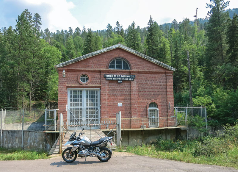
About halfway through the canyon, the red brick structure of the Homestake Hydro Power Plant carries the date 1917, which harkens back to the heyday of the Homestake Gold Mine operation. Another notable stop on this stretch of the ride is Bridal Veil Falls, which joins several seasonal falls on the route. At the end of the Spearfish ride where the road intersects with Interstate 90, instead of completing the loop with a freeway drone, I exit I-90 on the CanAm Highway (U.S. 85), which allows me to retrace my ride back to Sturgis on U.S. 14A.
Intermission in Sturgis
After my highly satisfying 80-mile introductory ride in the Black Hills, I have a couple of things I want to do in Sturgis. First on the agenda is a visit to the Sturgis Motorcycle Museum and Hall of Fame.
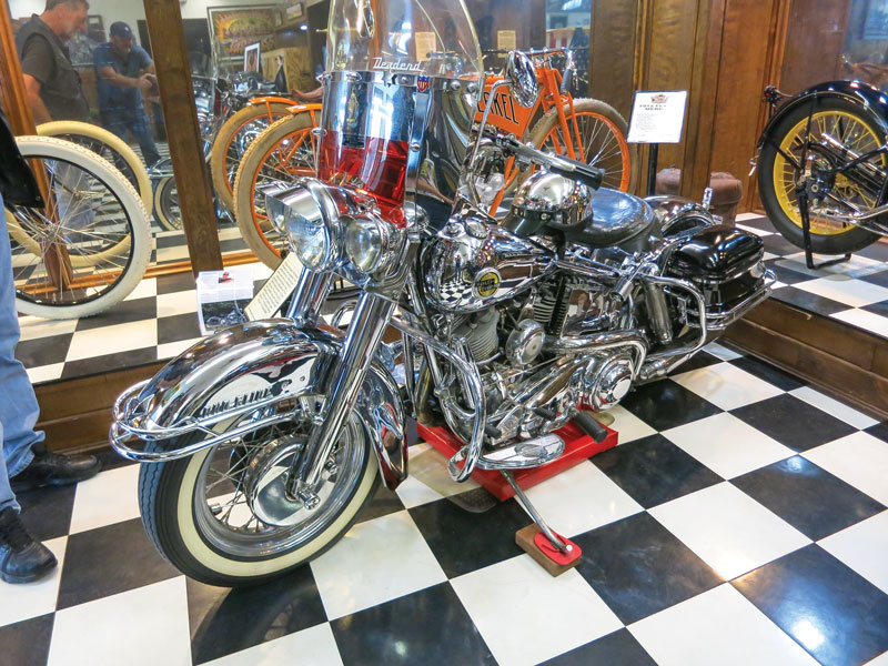
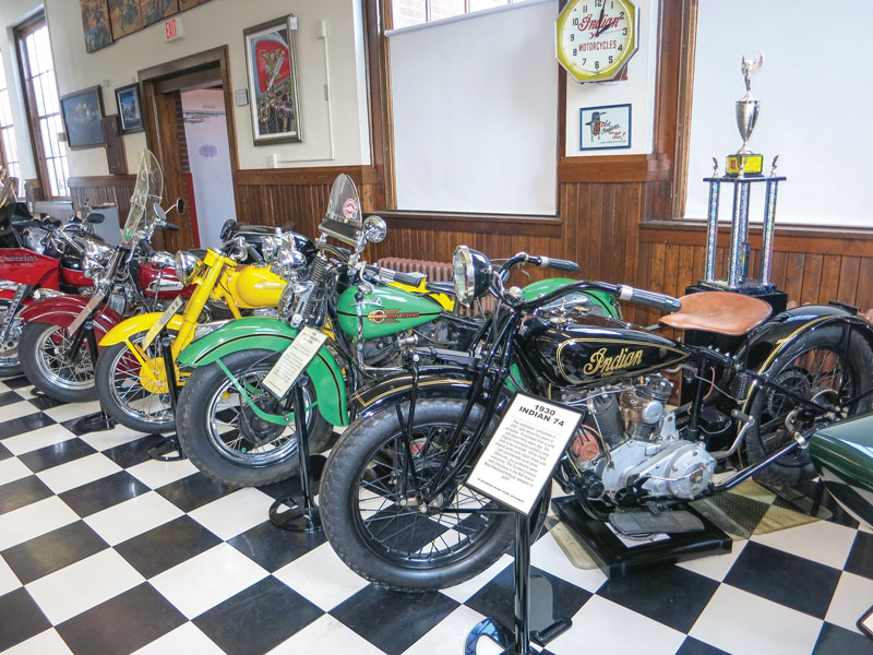
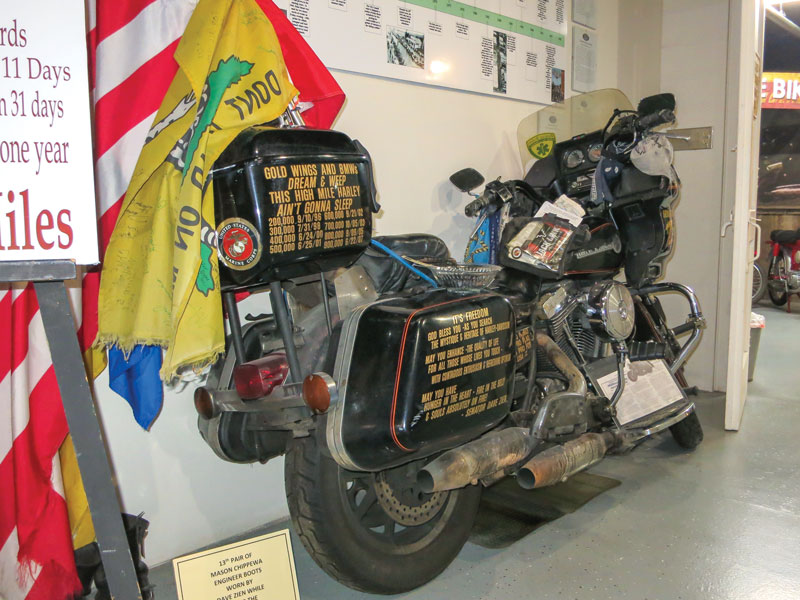
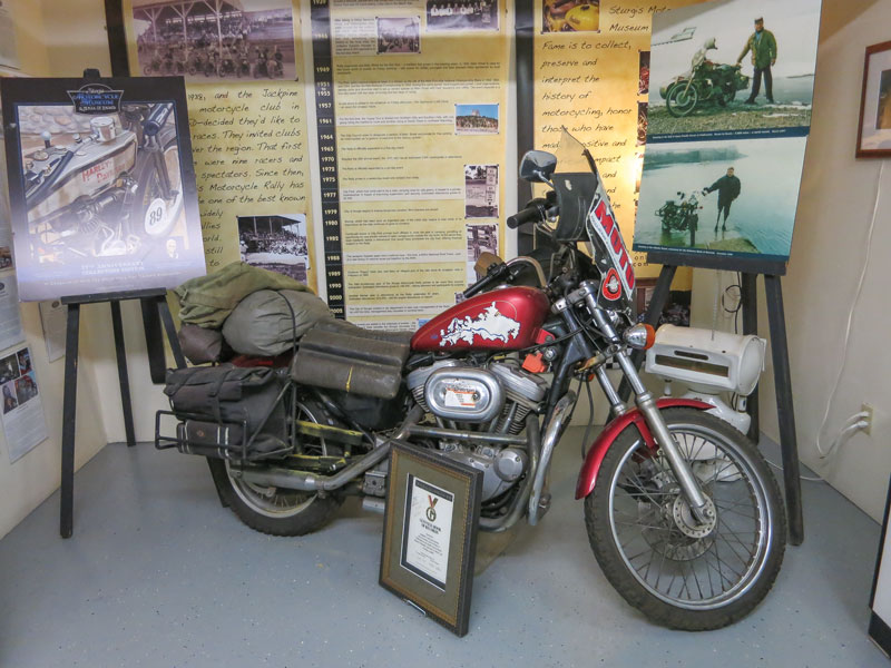
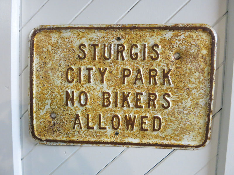 On my approach, I am a little taken aback by the diminutive outside appearance of the museum. That first impression would be misleading. The first floor is a compact but well-organized survey of motorcycling history. From a stacked pair of Vincents at the entryway to the pristine Flying Merkel and vintage Indians and Harleys farther in, the legacy of motorcycling is well represented.
Much of the display is a subterranean treasure trove. After a descent down a rather inconspicuous stairway, a number of themed rooms contain fascinating examples from around the world. There is a room for the street-legal enduros of the ’60s and ’70s, another filled with gleaming vintage Hondas, and yet another dedicated to vintage flat track bikes. European bikes are well represented in the basement with beautiful BSAs, Triumphs and much more.
 After imbibing my fill of motorcycling history at the Sturgis Museum, it is time for my second task in Sturgis. I want to talk to some local riders about a good route for my extended ride the next day. After a short walk down the town’s Main Street, I see two men having a conversation over an Indian Scout Sixty with a South Dakota license plate.
 It turns out that both men are from nearby Rapid City, and after some friendly debate, the pair agree that I should ride south on Vanocker Canyon Road, which leads directly to Nemo Road. After that southern ride, they tell me to “just ride whatever looks good on the map.” That’s my kind of plan!
After a night’s sleep at the Buffalo Chip, I pack the map, check the tires and head to the route that my local friends suggested. Heading due south out of Sturgis, I am on Vanocker Canyon Road before the big GS is even warmed up.
It becomes instantly clear why the locals suggested Vanocker. Birch and aspen trees accent the curvaceous canyon road. This ride has a more wide-open feel than Spearfish Canyon had the day before. In many stretches, the road comprises long, rhythmic sweepers that make for a highly entertaining ride. I do notice that the new day has brought with it an increase in motorcycle traffic—a condition that I am sure increases exponentially as the rally kicks into full gear.
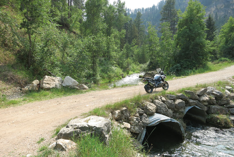
After the tiny town of Nemo, the road that carries the same name proves to be every bit as fun as Vanocker. There are stretches of tight curves linked by scenic straights. The lazy Boxelder Creek follows the road consistently on my ride south.
Because of the increasing traffic and as suggested by my local riders, I have decided that I will forgo (for now) the area’s fantastic tourist destinations like Mount Rushmore and Custer State Park. This is a riding tour and I want to see more miles not more traffic. The huge stone faces and famed Needles Highway will wait for a future visit.
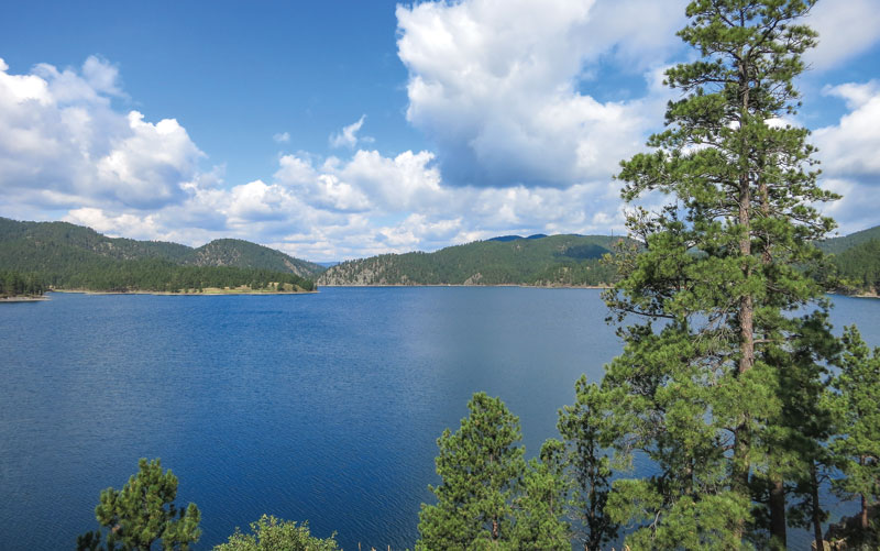
After short stints on Norris Peak Road and then State Route 44, I head south for an extended ride on U.S. Route 385. Like so many of the roads in the Black Hills, U.S. 385 is accented by those enticing little green dots on a printed map that indicate its scenic status. Just a handful of miles into this leg, I am stopped in my tracks by the majestic Pactola Lake. The expansive reservoir is a tree-lined living postcard.
The rest of the ride on U.S. 385 serves up dense forests, high plains and mountain lakes in abundance. Not to sound like a broken record, but the long, forest-lined sweeping corners are a treat in this area. The farther south I get the lighter the traffic becomes and the more expansive the views.
As I enter the town of Custer, it’s time for a lunch break, some map study and route decisions. I unfold my legs and my map at the Black Hills Burger and Bun Co. Rejuvenated by iced tea and beef, I decide that I will go west (young man), toward and ultimately into Wyoming.
My westward expansion is traced on U.S. Route 16, also known as Mount Rushmore Road. The road starts out much straighter than the roads that I had ridden in the morning. It’s nice to gain a little speed and cruise for a while. Well into the ride, I notice that large fallen timbers, immature evergreens and developing grassland replace the high timberland environment that I had experienced on much of the tour.
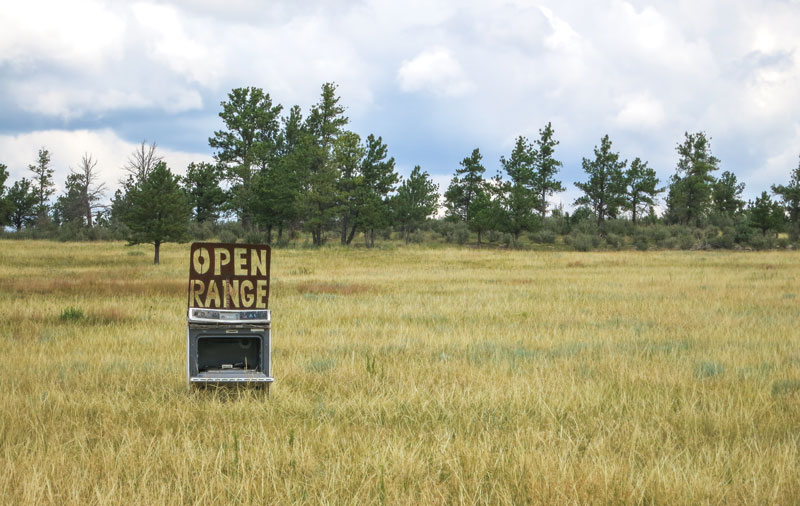
As I continue my westward ride toward Wyoming, the landscape morphs gradually from forestland, to intermittent tree clusters, to big sky grasslands. I am temporarily leaving the Black Hills. The “Welcome to Wyoming” sign is set firmly in wide-open rangeland.
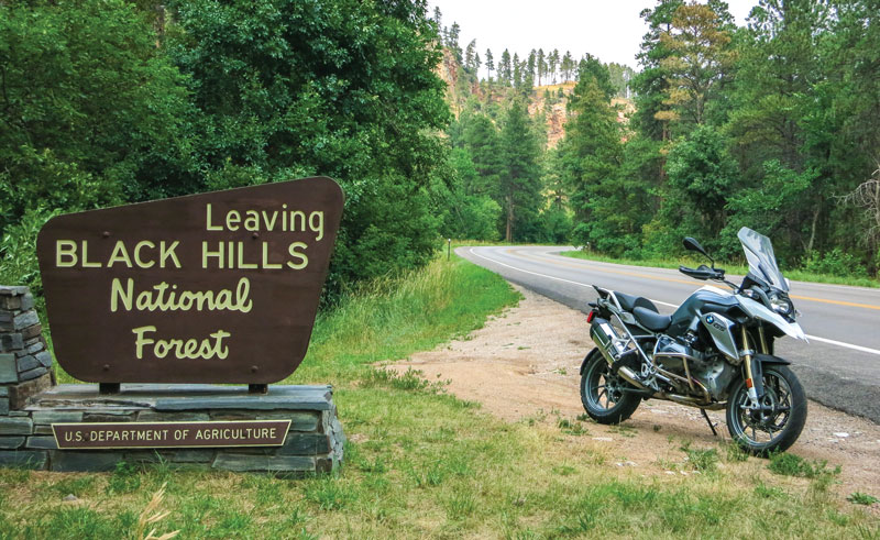
I terminate my ride west at the historic Wyoming ranch town of Newcastle. After a quick gas stop, I head back toward the Black Hills on U.S. 85. It will take me all the way to Deadwood. The ride transforms wonderfully in the reverse of what I experienced on the way to Wyoming. Grasslands become high chaparral, only to become forestland as I pass the Black Hills National Forest sign. I return to Sturgis on that short, now familiar stretch of U.S. 14A. It was a diverse, memorable and thoroughly enjoyable 170-mile day.
I traveled some great roads on this tour of the Black Hills, and I missed many more. This is all the more reason to come back next summer. Yes, that “voice of the mystic mountains” will certainly be calling me “back to the Black Hills.”



Awesome read….I will be heading there for my first sturgis rally in 5 weeks.. .cant wait. Thanks for some insight