At a certain time of year, the bite in the night air has me working phrases such as “last chance” and “end of the season” into conversations, until my wife finally gets tired of hearing it and kicks me out the door for one final motorcycle trip before the shivering season begins. This year, I decided to embark on an Eastern Kentucky motorcycle tour and sample a region I’ve never fully explored despite its proximity.
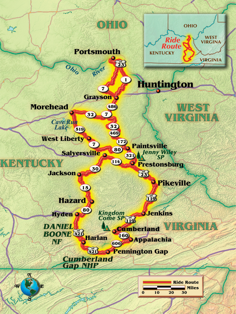
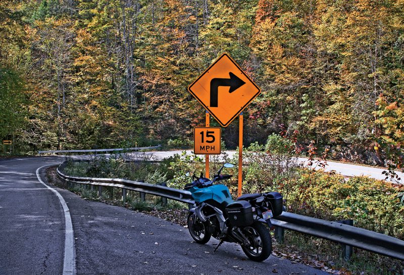
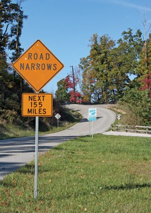
I crossed the state line on U.S. Route 23, which Kentucky calls the Country Music Highway. Signs and a museum honor a dozen musicians born along this route, from Hylo Brown, who was popular in the 1950s, to Miley Cyrus, born in the 1990s. But I was still as restless as a squirrel late in the season, so I abandoned the four-lane and skipped the roadside attractions in a last-chance quest to whittle away at my tires’ chicken strips on Kentucky’s old two-lanes. I was here for the curves.

State Route 486 offers plenty of them, with new pavement. Then I followed State Route 32, a popular road I revisited later, and rolled south into Paintsville. I was back alongside U.S. Route 23, but instead of droning down its four lanes, I had enjoyed 80 miles of Kentucky’s smaller roads. My base for the weekend was Jenny Wiley State Park, just past another sign pointing toward the Loretta Lynn homestead in Butcher Holler. More country music heritage.
The sun was bright, but setting early. The chilly air confirmed warnings of an overnight low of 39 degrees. I got the tent set up and the fire started early. In the morning, cold fog smothered the holler, but when I rode up and over the short but wonderfully twisty State Route 3024, the shortcut over the mountain and into Prestonsburg, I rose into clear sunlight that set aglow the colors of the early changing trees. These are the sights that make autumn the best time of the year for sport touring.
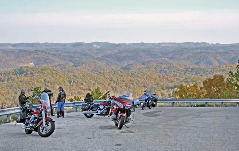
After breakfast in Prestonsburg, I made time southward on U.S. 23 until it splits from U.S. Route 119. Four-lane highway gives way to two lanes with tight switchbacks and warning signs for trucks as U.S. 119 climbs Kentucky’s highest ridges. I joined some cruiser riders at an overlook where the view is endless. They were about to ride the Little Shepherd Trail, a road that gets its name from a Civil War novel, The Little Shepherd of Kingdom Come, by Kentucky writer John Fox, Jr.
I was tempted to follow. The trail is famed for spectacular views along its route over Pine Mountain and chances to spot black bears and other wildlife. But it’s a one-lane, two-way road creeping over rugged terrain. Even though it was improved in recent years, a change that sparked protests by those who wanted to keep it more rugged and less traveled, it’s still the kind of road that keeps a motorcycle in first or second gear. Short as it is, the Little Shepherd Trail could suck up a good portion of my day. So I passed.
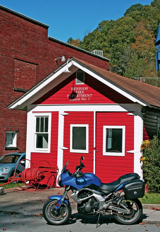
Half an hour later, I was happy with my choice. At Cumberland, I turned left onto State Route 160. The little coal country towns of Benham and Lynch slipped past and the road steepened and narrowed. Route 160 tops out near the peak of Black Mountain, the highest point in Kentucky. The ride up the western slope is an endless series of S-turns, squeezing between a guardrail on one side and ragged rock cliffs on the other.
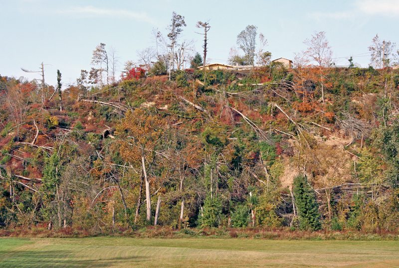
Crossing the Virginia state line, the first view is a strip mine. Did I mention I was in coal country? While the ascent of Black Mountain was all S-turns, the descent threw tight switchbacks at me, testing the brakes. At the bottom, I turned west on State Route 606, which is part of a 325-mile route called the Virginia Coal Heritage Trail, linking 19th-century mining towns and memorials dedicated to the industry. Conveyor belts hauling carbon out of the mountains run overhead as the road slithers beneath.
Just when I was sure Route 606 was about to dwindle into a cow trail, it opened up and offered some sweeping curves before I reached U.S. Route 421 and rode north back into Kentucky. This stretch from U.S. 119 overlooks Black Mountain, and riding the coal-dusted backwoods of Virginia Route 606 turned out to be the best riding of the weekend, and more than adequate compensation for missing the Little Shepherd Trail.
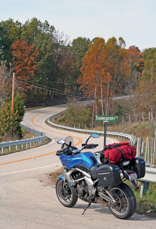
In the morning, I headed north to Paintsville before swinging west. On a whim, I took a shortcut on State Route 1081. These four-digit Kentucky routes typically wind through sparsely populated woodlands and offer more views of the changing foliage. Route 1081 is only 11 miles long, but it turned out to be one of my better decisions.
From West Liberty, I rode north on State Route 7 and peeled off onto State Route 519, not because it’s a great motorcycle road, but because it would take me just far enough out of my way to ride my favorite section of a popular route. Near Morehead, I rode east on State Route 32, a perennial choice on local riders’ lists of favorite roads. I particularly enjoy the portion east of Elliottville. The road loops along the ridge top, mixing swooping curves and sweeping views. Once I was back at Route 7, it was just a matter of following it north to Ohio. Fortunately, Route 7 grew smaller as I went, slicing through narrow farming valleys and vaulting over wooded hills until I made the last descent into the Ohio River Valley.
And that was it for my Kentucky ride. Days like these are numbered, I thought to myself. But I got in one last fall ride to remember and carry me through the shivering season.
(This article Coal, Country & Curves: A Weekend Sport Tour in Eastern Kentucky was published in the September 2013 issue of Rider magazine.)


 | Ep. 69 Rider Magazine Insider Podcast")


How long did this take you
I see this article is from ten years ago. It brings back memories from the 1970s, when for two years, I lived and worked in that area as a helicopter pilot for a coal company. Helicopters are the quickest way to travel that country. Now almost fifty years later, I would like to return, but this time traveling by motorcycle.